(All photos are clickable)
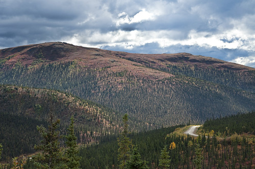
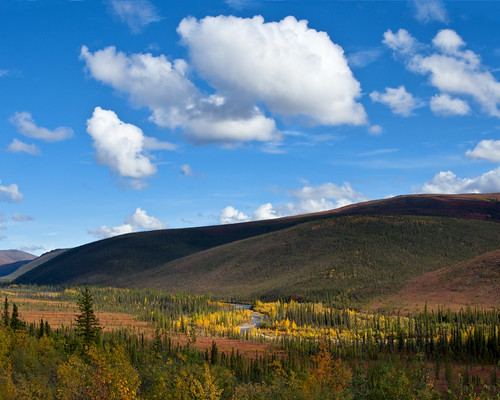
The Steese Highway runs 160 miles through the mountains to the mining community of Central, and then to the town of Circle on the banks of the Yukon river. Only the first 60 miles are paved (plus paving within Central). That means, for an out-and-back trip such as the one I did, 200 miles of dirt road. It's a very nice dirt road, though, and the scenery is pretty amazing:
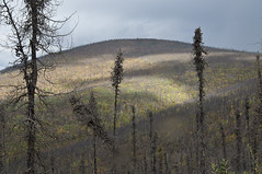
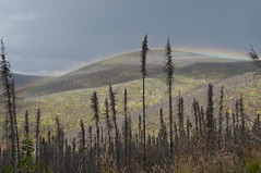
Approaching the higher altitudes, the trees begin to thin out:

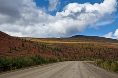
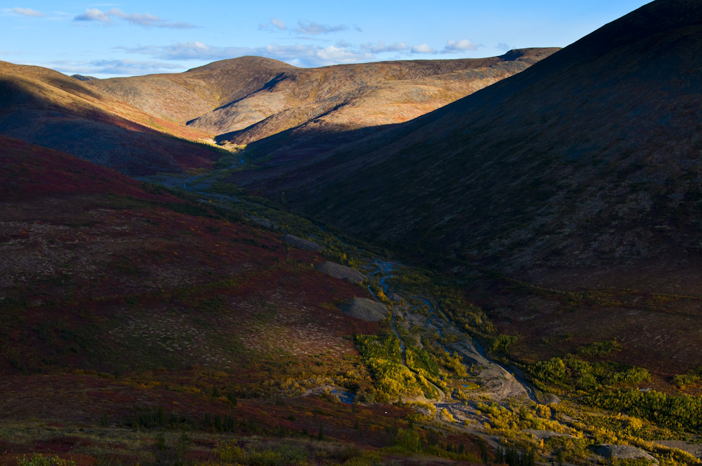
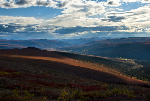
The area around Eagle Pass, where the road is above the treeline (the maximum altitude at which trees are able to grow), is particularly impressive. The vegetation in this area is mostly reddish lichen. I don't know if it's always red or if that's an autumn thing. It's pretty thick and spongy, and feels really strange to walk on:
No comments:
Post a Comment