Saturday, May 31, 2014

Trip Report: Middle Chatanika River


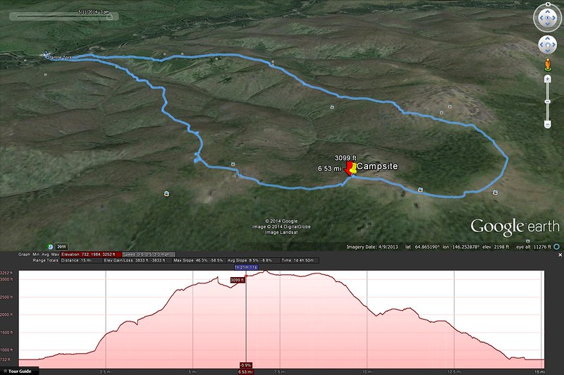
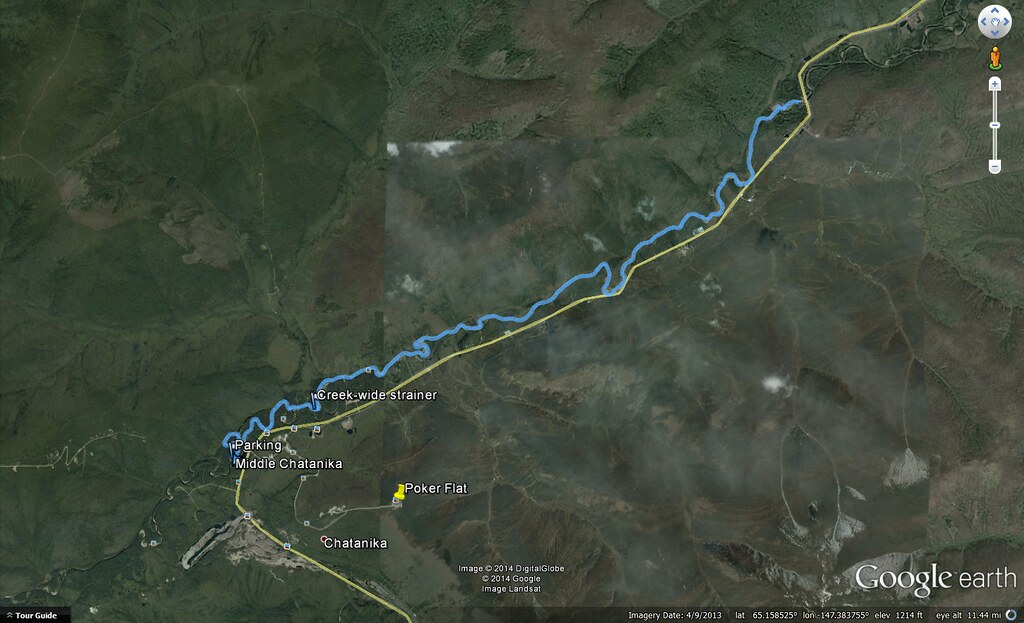
Click to open an interactive version of this map.

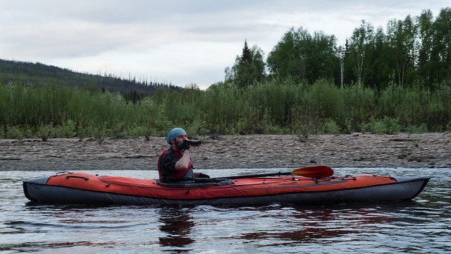
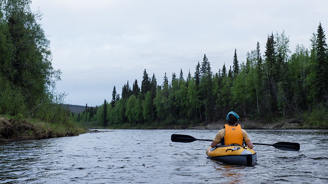
I paddled the Middle Chatanika River last night, starting about 22:30 and finishing at 2:30am, with plenty of light all night despite the overcast sky.

Midnight on the Chatanika River

DSC_1775-2

DSC_1772-2

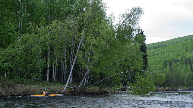
The lower end of the run had quite a few logjams and strainers, all but one were negotiable if you were careful. That one is marked on the map, and required a ~20 foot portage around the end of the fallen tree. Also, the course of that part of the river has apparently changed considerably since the USGS topo map was created, as you can see my track didn't come anywhere near following the mapped river course in several places. Not too surprising since the map is from 1956. I noticed it must be old when I was geotagging it to load into my GPS and saw it didn't include the Dalton Highway.

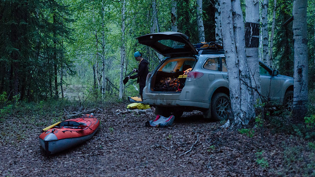
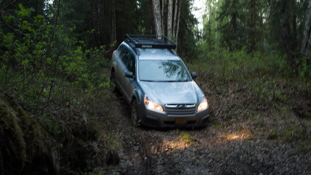
The put in is easy access at a maintained campsite right next to the highway, there's another easy access point about 5 river miles down on the side of the highway, then the lower point I marked as parking is not accessible by a regular passenger car. There may be easier access nearby. The ~1/4 mile road to that access point is really a jeep/atv trail, just wide enough to get my car down, and pretty steep and muddy in spots. The picture makes it look less steep, but you can tell my headlights are pointing at the ground 3 feet in front of the car, and I'm scraping my bumper that's nearly 9 inches off the ground.

DSC_1761-2

But it's doable. This sort of thing is exactly what I built the car for. At the take-out point, which also had a nice campfire ring:

DSC_1793-2

Wednesday, May 14, 2014

Trip Report: Granite Tors


Click to open an interactive map in a new tab.

This weekend I went on an overnight hike to the Granite Tors, a group of large vertical rock outcroppings on top of a ridge above the Chena River. The trail is about 15.5 miles from the parking area, and it's slow going over most of the trail for various reasons - willows, elevation gain, rocks and tussocks at higher elevation. I put together a pretty slick interactive map so you can see the route and photos I took, but I can't figure out how to embed it on this page, so you'll just have to click through to get it.

Here's the elevation profile color-coded to match the interactive map:

Granite Tors Elevation Profile

The trail starts off through some marsh land, and a crude boardwalk is set up to walk on:


Climbing the ridge with a loaded pack is hard work, but very rewarding once you're on top. We picked a campsite under one of the tors (location pinned on the interactive map).

DSC_0972DSC_0973

DSC_0984DSC_1436

It was a great spot that had some shelter from the wind and even had water available right there in a few small tundra ponds, though it tasted like dirt. The evening light enticed me to take a few pictures before turning in to my tent to read a little then go to sleep:


When I stepped out of the tent at 6:00am, the morning light on the frosty tundra was beautiful, with a fantastic view of the Alaska Range over some more tors to the south:


Lee also wrote a blog post about it, click here to read.

There's a good chance I'll be back here at some point.