Tuesday, August 31, 2010

Angel Rocks

Angel Rocks

Deep below the surface of the Earth, a big glob of magma, some 2,000ºF, rises. It rises towards the surface, and it promises to make a spectacular eruption when it arrives. But it's not to be. The glob is cooling faster than it's rising, and it solidifies into an extremely hard chunk of granite before it reaches the surface.

Angel Rocks

All this happened more than 70 million years ago. Dinosaurs were walking around while this was going on.

Angel Rocks

In the space between then and now, weathering has steadily eroded the surface down. It erodes until it exposes the granite, then it keeps eroding. But the hard granite doesn't erode as quickly as the softer surrounding rock, so as the surrounding rock weathers away, the granite is left poking up here and there as monoliths to time and geology.

Angel Rocks

Sooner or later, some mammal with a penchant for naming things calls them 'Angel Rocks'.

Angel Rocks and Chena River below

Monday, August 23, 2010

Alaska Highway, Part 2

Fairbanks Sunset

(Click any photo for details or other sizes)

Coming out of Watson Lake in the morning, there was a ton of smoke in the air due to nearby large forest fires. Makes a crappy picture, but I figured I'd show it anyway:

Smoke from forest fires Alaska Highway

That 2nd photo was 50 miles or so down the road after it started to clear up. It did clear up, and got rather pretty out:

Alaska Highway

Alaska Highway Old Truck

I crossed a river at Teslin. I crossed too many rivers to remember the names of, but the Teslin crossing had a better view than most:

Alaska Highway

Alaska Highway Scenery

At Whitehorse I turned off the Alaska Highway onto the Klondike Highway to take the Top of the World route. More scenery along the way:

Yukon River Klondike Highway

Yukon Sunset

Got to the town of Dawson on the Yukon river at about 10:00, which is just in time for sunset. Ran out to the historic gold dredge to shoot at sunset:

Historic Dredge #4

Yukon Sunset

Dawson is a neat little town where the roads are all dirt and the building are all remodeled from the gold rush era, or at least made to look like it. It looked nice in blue hour just after sunset (which is, by the way, considerably longer than an hour up here). But I was tired and decided to get some sleep and shoot it in the morning. Bad decision, because it was overcast and dreary in the morning. I shot a few bad ones from the car anyway:

Dawson Dawson

Dawson

Then onto the Dawson ferry across the Yukon River, which connects to the Top of the World highway into Alaska:

Dawson Ferry

Dawson Ferry

Calling this a 'highway' is a stretch of the word. The Canadian section wasn't bad, except that I was now inside the rain cloud, and the winds were pretty fierce. There were times I could just see a dropoff into white void next to the car, and I wondered 'how far down is that?'

Top of the World Highway Top of the World Highway

Crossed the border:

Top of the World Border Crossing

Then the highway turned to mud:

Top of the World Highway

Which is still a nice surface in that shot, but got bad quick. A landslide had buried the road (a bulldozer had dug one lane out) and other parts were being undercut by the rivers and falling into the water. They weren't allowing cars through alone, you had to follow a convoy led by the construction workers who knew the safe part through. So I waited 1.5 hours for the next convoy, then spent 2 hours driving the 30 mile bad segment. Total investment of 3.5 hours for 30 miles.
Sorry, no pictures.

But from there, it was a smooth highway run to Fairbanks. Made it!


Sunday, August 22, 2010

Alaska Highway, Part 1

Bridge on Alaska Highway

(Click any photo for details and other sizes)

The Alaska Highway is just under 1,400 miles, stretching from Dawson Creek, BC to Delta Junction, AK. You hear a lot of stories about how terrible of condition it's in, but that's a thing of the past. The road is as nice, if not nicer than many of the 2 lane road in Arkansas. The difference is, if something does go wrong, you can be a couple hundred miles away from the nearest community (which may still be less than 2,000 people). That is what catches people out on this road. You're no more likely to have car trouble than any other 1,400 miles drive, but if you do, it's a big deal. No cell phone reception except within a few miles of the main towns, and sometimes not even then (none in Watson Lake, for example). Add to that the fact that weather in some sections, like the part over the rockies, can suddenly turn life threatening at any time of year, and you need to be prepared. But anyone can make this drive, so long as your car is in good repair and you have good tires.

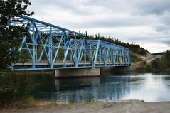
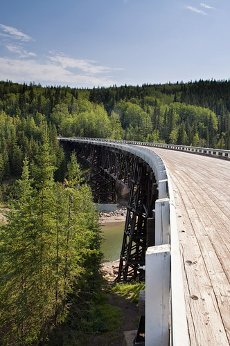
Right out of Dawson Creek there's a side trip to a neat, curved wooden bridge; part of the original Alaska Highway:

Alaska Highway Kiskatinaw Wooden Bridge

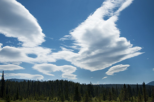
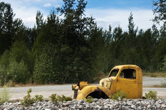
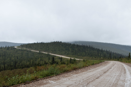
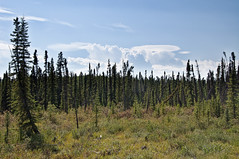
The rest of the first leg, north to Fort Nelson, is mostly rolling hills through trees, with not much interesting in the way of photography:

Alaska Highway Alaska Highway

Alaska Highway Alaska Highway

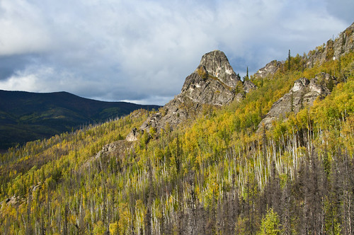
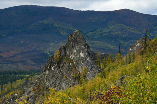
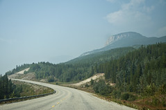
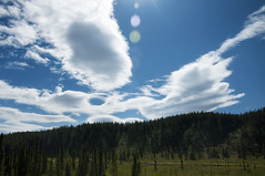
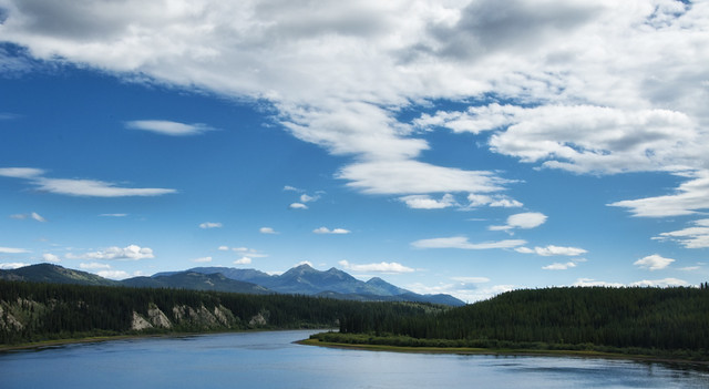
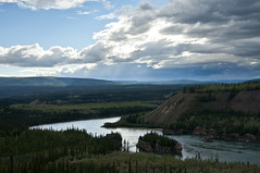
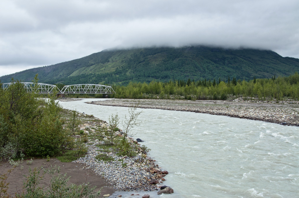
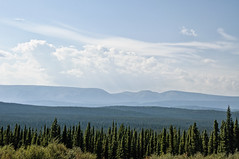
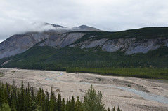
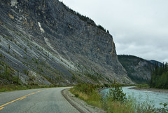
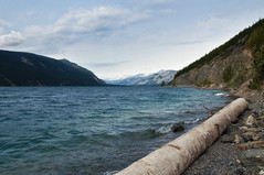
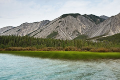
After that, you head west and cross the northern Rockies, which is a very pretty segment:

Bridge on Alaska Highway

Alaska Highway Alaska Highway

Alaska Highway

Alaska Highway Alaska Highway

Alaska Highway

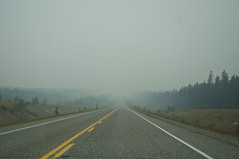
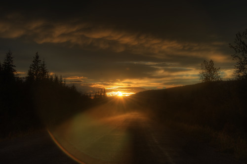
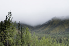
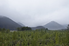
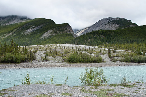
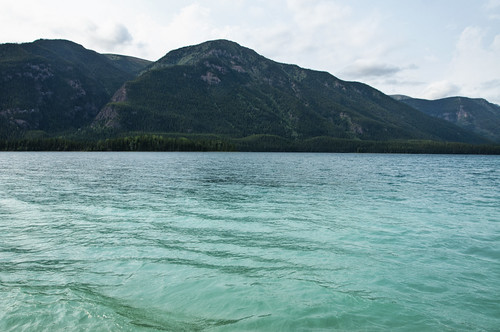
It was mostly overcast on the east side of the mountains, but cleared out (still very hazy due to large forest fires in the area) on the west side as I approached Muncho Lake. Muncho Lake is a brilliant turquoise color due to suspended glacial sediments - basically rock ground down to the consistency of flower and floating around in the water:

Muncho Lake

Muncho Lake Muncho Lake

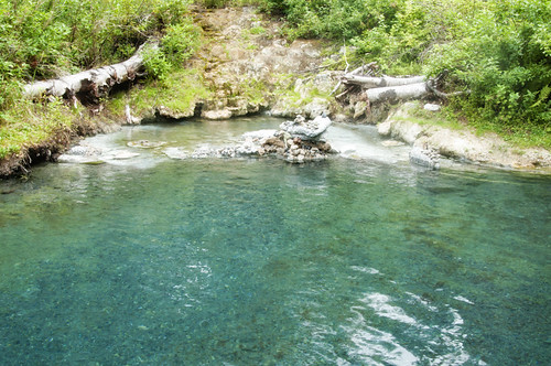
I stopped at Liard Hot Springs, which is very hot: between 110º and 125ºF, depending which end of the pool you're in! I only made it about two-thirds of the way to the hot end. This pile of stones is where people shuffle to the hot end, place their stone to prove they were there, then run back to the 'cool' 115º in the middle.

Liard Hot Springs

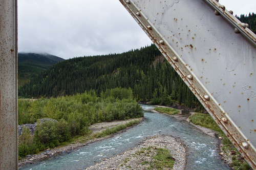
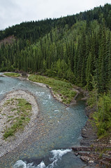
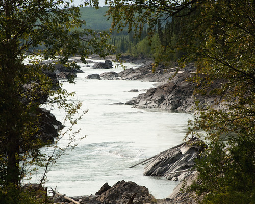
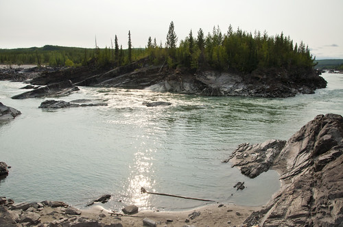
A little further down the road, I stopped at a place called Whirlpool Canyon, where there is supposedly a 'violent whirlpool' somewhere nearby. I didn't find it, but the place was neat enough anyway:

Whirlpool Canyon

Whirlpool Canyon

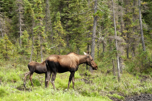
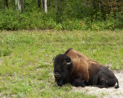
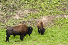
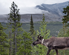
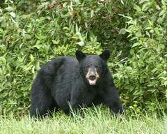
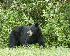
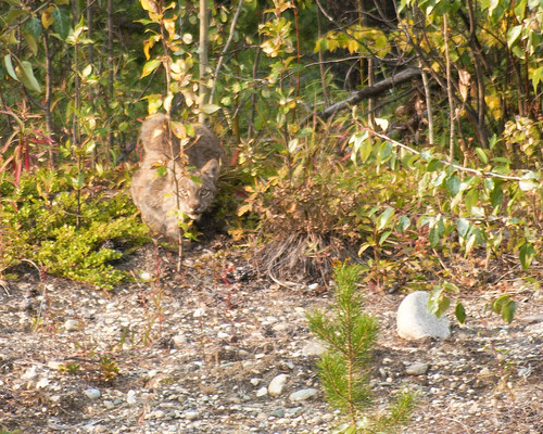
And yes, there's plenty of roadside wildlife along the way:

Moose

Bison Bison

Caribou

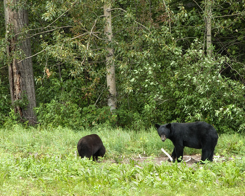
A mother black bear and her cub chew on some bones:

Black Bear and cub chewing on bones

Black Bear Black Bear

And here a Canadian Lynx watches me from the bushes in a full on stalking-cat pose:

Canadian Lynx

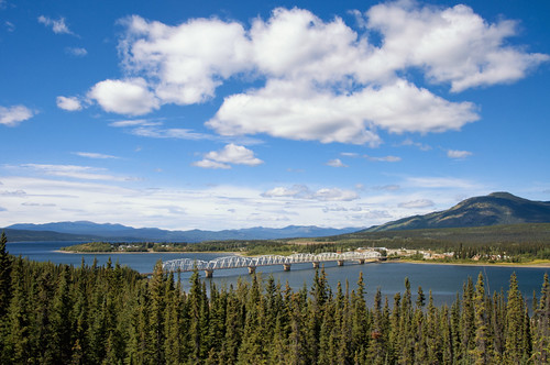
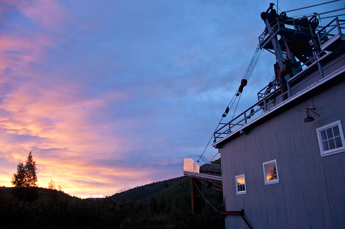
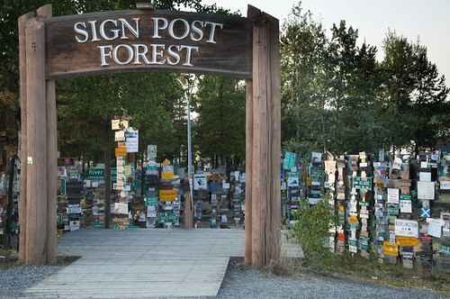
Finally I arrived in Waston Lake, Yukon Territory. Population 1,500 - biggest town I'd seen all day, and most of the next day too! The Signpost Forest is where visitors hang a sign from their hometown or state. Unfortunately, I didn't have one to put up:

Signpost Forest

Rest of the way to Alaska next time.