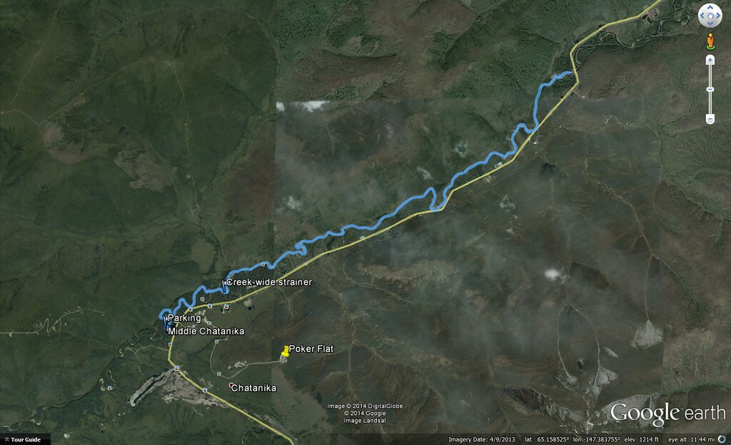
Click to open an interactive version of this map.
I paddled the Middle Chatanika River last night, starting about 22:30 and finishing at 2:30am, with plenty of light all night despite the overcast sky.
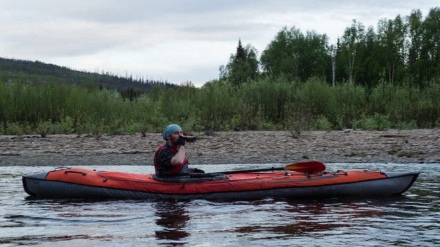
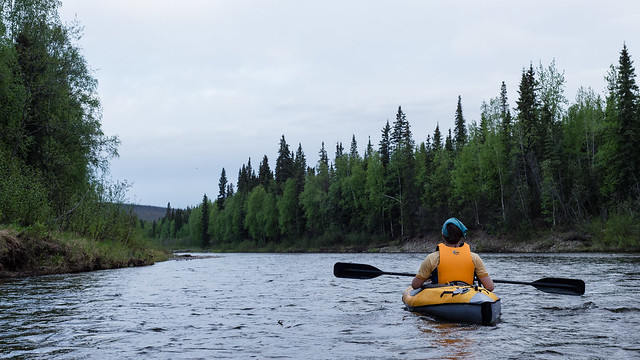
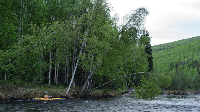
The lower end of the run had quite a few logjams and strainers, all but one were negotiable if you were careful. That one is marked on the map, and required a ~20 foot portage around the end of the fallen tree. Also, the course of that part of the river has apparently changed considerably since the USGS topo map was created, as you can see my track didn't come anywhere near following the mapped river course in several places. Not too surprising since the map is from 1956. I noticed it must be old when I was geotagging it to load into my GPS and saw it didn't include the Dalton Highway.
The put in is easy access at a maintained campsite right next to the highway, there's another easy access point about 5 river miles down on the side of the highway, then the lower point I marked as parking is not accessible by a regular passenger car. There may be easier access nearby. The ~1/4 mile road to that access point is really a jeep/atv trail, just wide enough to get my car down, and pretty steep and muddy in spots. The picture makes it look less steep, but you can tell my headlights are pointing at the ground 3 feet in front of the car, and I'm scraping my bumper that's nearly 9 inches off the ground.
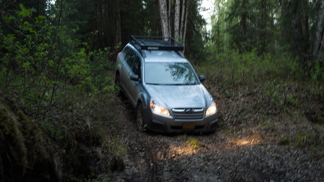
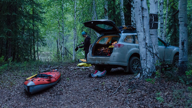
But it's doable. This sort of thing is exactly what I built the car for. At the take-out point, which also had a nice campfire ring:
No comments:
Post a Comment