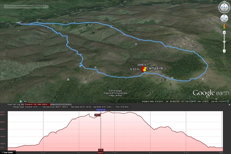
Click to open an interactive map in a new tab.
This weekend I went on an overnight hike to the Granite Tors, a group of large vertical rock outcroppings on top of a ridge above the Chena River. The trail is about 15.5 miles from the parking area, and it's slow going over most of the trail for various reasons - willows, elevation gain, rocks and tussocks at higher elevation. I put together a pretty slick interactive map so you can see the route and photos I took, but I can't figure out how to embed it on this page, so you'll just have to click through to get it.
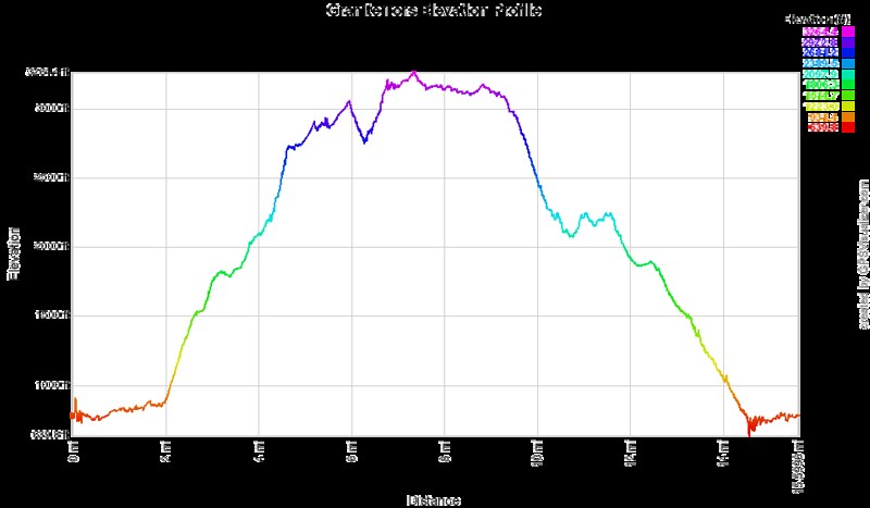
Here's the elevation profile color-coded to match the interactive map:
The trail starts off through some marsh land, and a crude boardwalk is set up to walk on:
Climbing the ridge with a loaded pack is hard work, but very rewarding once you're on top. We picked a campsite under one of the tors (location pinned on the interactive map).
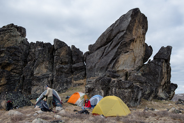
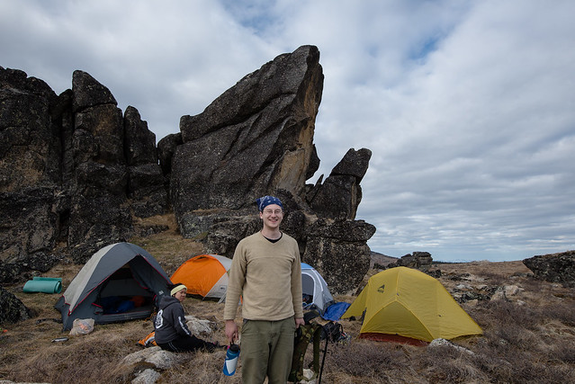
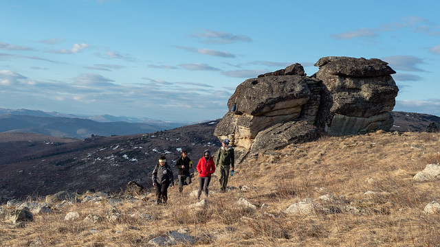
It was a great spot that had some shelter from the wind and even had water available right there in a few small tundra ponds, though it tasted like dirt. The evening light enticed me to take a few pictures before turning in to my tent to read a little then go to sleep:
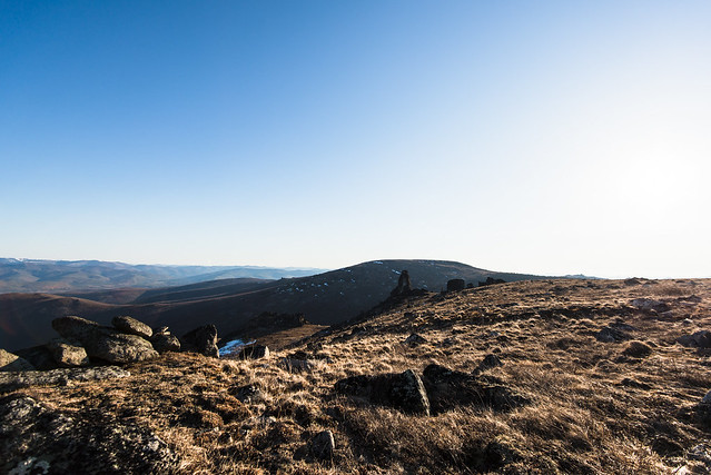
When I stepped out of the tent at 6:00am, the morning light on the frosty tundra was beautiful, with a fantastic view of the Alaska Range over some more tors to the south:
Lee also wrote a blog post about it, click here to read.
There's a good chance I'll be back here at some point.
No comments:
Post a Comment