(Click any photo for details or other sizes)
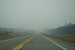
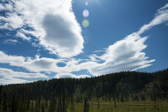
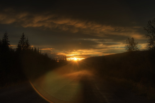
Coming out of Watson Lake in the morning, there was a ton of smoke in the air due to nearby large forest fires. Makes a crappy picture, but I figured I'd show it anyway:
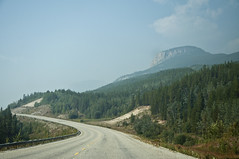
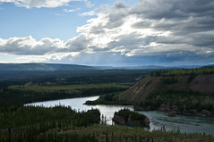
That 2nd photo was 50 miles or so down the road after it started to clear up. It did clear up, and got rather pretty out:
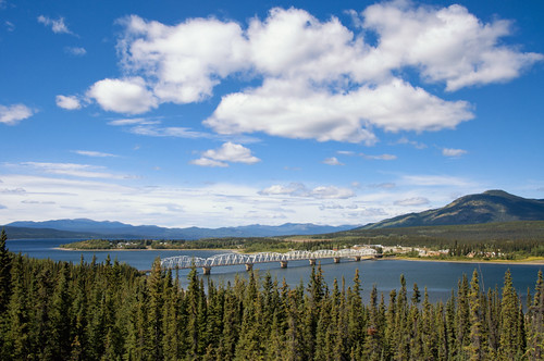
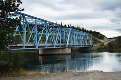
I crossed a river at Teslin. I crossed too many rivers to remember the names of, but the Teslin crossing had a better view than most:
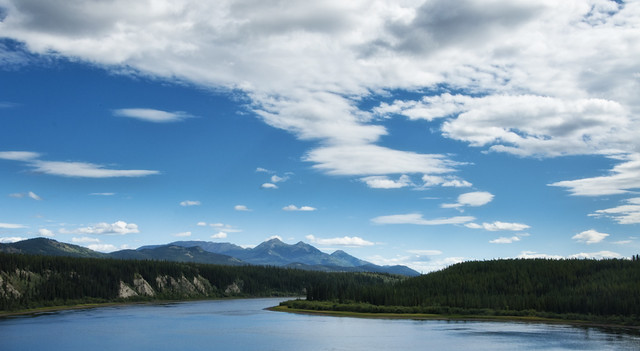
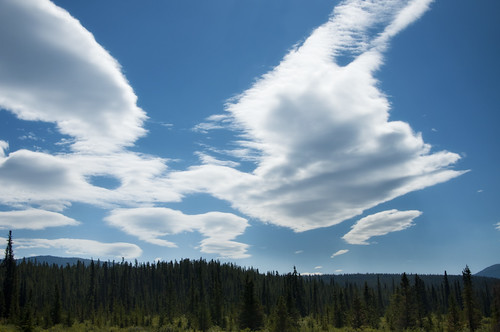
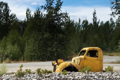
At Whitehorse I turned off the Alaska Highway onto the Klondike Highway to take the Top of the World route. More scenery along the way:
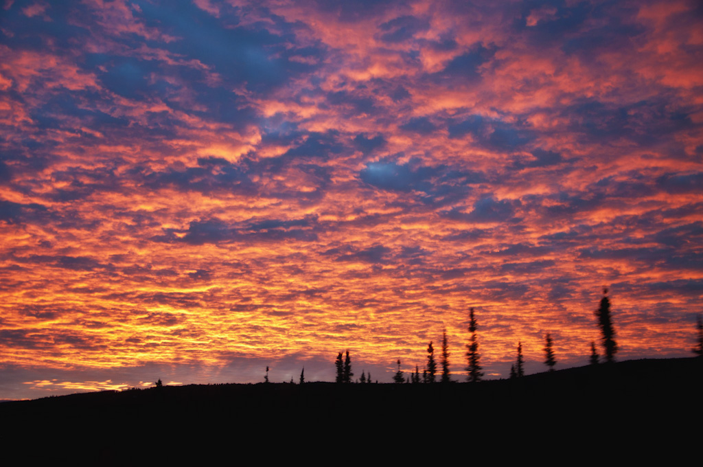
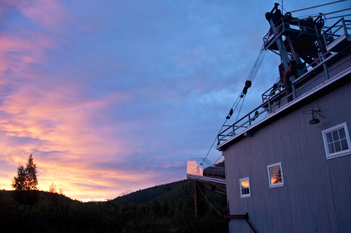
Got to the town of Dawson on the Yukon river at about 10:00, which is just in time for sunset. Ran out to the historic gold dredge to shoot at sunset:

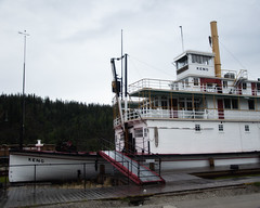
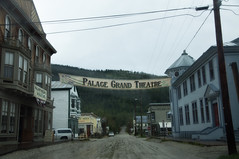
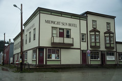
Dawson is a neat little town where the roads are all dirt and the building are all remodeled from the gold rush era, or at least made to look like it. It looked nice in blue hour just after sunset (which is, by the way, considerably longer than an hour up here). But I was tired and decided to get some sleep and shoot it in the morning. Bad decision, because it was overcast and dreary in the morning. I shot a few bad ones from the car anyway:
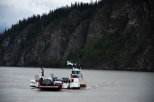
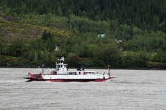
Then onto the Dawson ferry across the Yukon River, which connects to the Top of the World highway into Alaska:
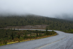
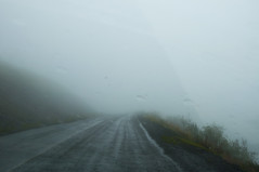
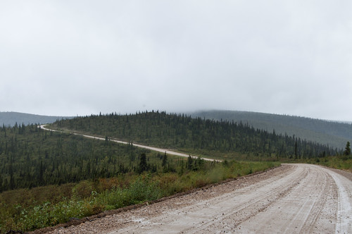
Calling this a 'highway' is a stretch of the word. The Canadian section wasn't bad, except that I was now inside the rain cloud, and the winds were pretty fierce. There were times I could just see a dropoff into white void next to the car, and I wondered 'how far down is that?'
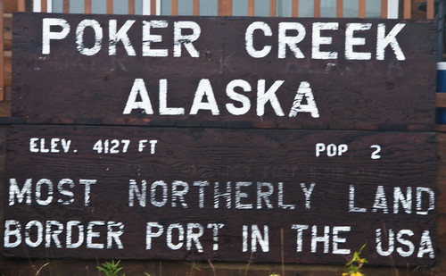
Crossed the border:
Then the highway turned to mud:
Which is still a nice surface in that shot, but got bad quick. A landslide had buried the road (a bulldozer had dug one lane out) and other parts were being undercut by the rivers and falling into the water. They weren't allowing cars through alone, you had to follow a convoy led by the construction workers who knew the safe part through. So I waited 1.5 hours for the next convoy, then spent 2 hours driving the 30 mile bad segment. Total investment of 3.5 hours for 30 miles.
Sorry, no pictures.
But from there, it was a smooth highway run to Fairbanks. Made it!
No comments:
Post a Comment