(Click any photo for details and other sizes)
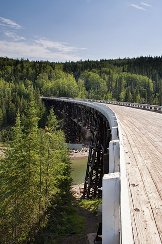
Right out of Dawson Creek there's a side trip to a neat, curved wooden bridge; part of the original Alaska Highway:
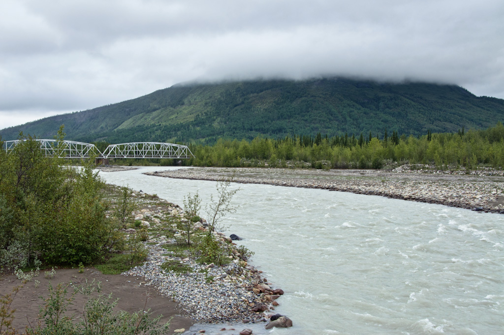
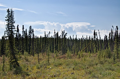
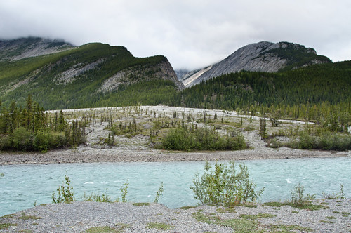
The rest of the first leg, north to Fort Nelson, is mostly rolling hills through trees, with not much interesting in the way of photography:
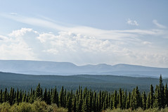
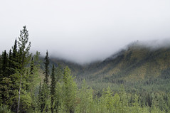
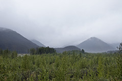
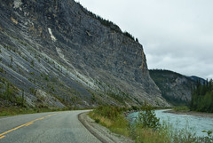
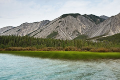
After that, you head west and cross the northern Rockies, which is a very pretty segment:
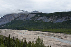


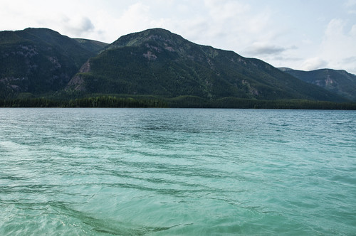
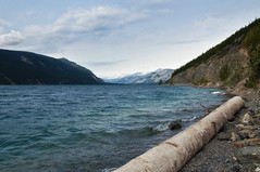
It was mostly overcast on the east side of the mountains, but cleared out (still very hazy due to large forest fires in the area) on the west side as I approached Muncho Lake. Muncho Lake is a brilliant turquoise color due to suspended glacial sediments - basically rock ground down to the consistency of flower and floating around in the water:
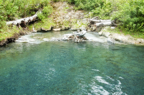
I stopped at Liard Hot Springs, which is very hot: between 110º and 125ºF, depending which end of the pool you're in! I only made it about two-thirds of the way to the hot end. This pile of stones is where people shuffle to the hot end, place their stone to prove they were there, then run back to the 'cool' 115º in the middle.
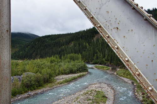
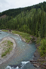
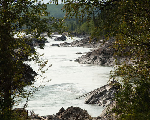
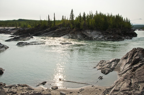
A little further down the road, I stopped at a place called Whirlpool Canyon, where there is supposedly a 'violent whirlpool' somewhere nearby. I didn't find it, but the place was neat enough anyway:
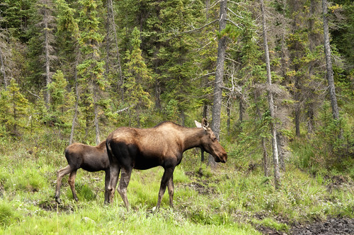
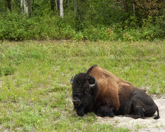
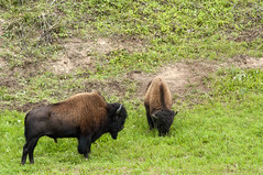
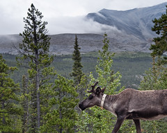
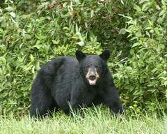
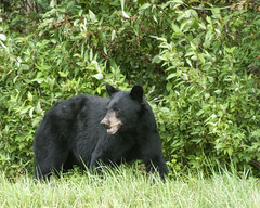
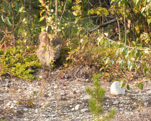
And yes, there's plenty of roadside wildlife along the way:
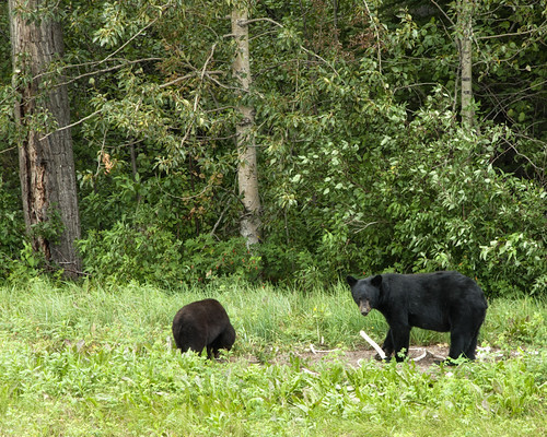
A mother black bear and her cub chew on some bones:
And here a Canadian Lynx watches me from the bushes in a full on stalking-cat pose:
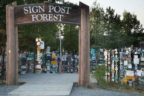
Finally I arrived in Waston Lake, Yukon Territory. Population 1,500 - biggest town I'd seen all day, and most of the next day too! The Signpost Forest is where visitors hang a sign from their hometown or state. Unfortunately, I didn't have one to put up:
Rest of the way to Alaska next time.
No comments:
Post a Comment