Friday, June 1, 2012

Cassiar Side Journeys

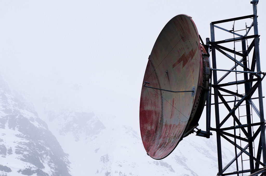
Dish and mountains

Just before Watson Lake, Yukon Territory, is the Alaska Highway's junction with the Cassiar Highway. There is apparently cell phone service in Watson Lake if you have the right carrier (this is the only place I've ever seen road service signs advertising cell phone reception). I know my phone doesn't work here; I don't have reception anywhere along the 1,000 miles between Whitehorse YT and Prince George BC. I don't know if that gives an idea how isolated the Cassiar is. In the lower 48 you just assume cell phones work via magic, and it's unusual to find those few miles of road with no reception. In Alaska you can go 100 miles or more without reception and that seems normal - but 1,000? That's a long way, man.

The northern Cassiar passes through one or more mountain ranges, which might be called the Cassiar and Skeena mountains. You see lots of small lakes, which are still mostly icy in May:
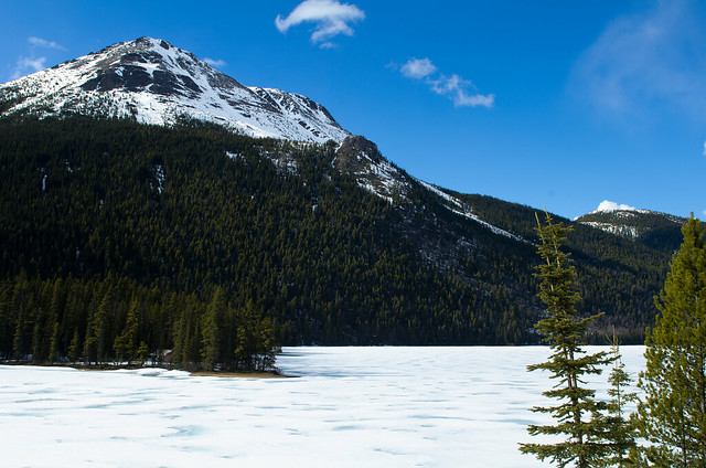
Along the Cassiar

Picture, basically, ~250 miles of that, then another ~300 miles of rolling hills, and you'll have a good idea. There is lots of wildlife, not many people, and I can only think of 3 communities to buy gas. Two of them have populations in the couple hundred, and for the third, the gas station is the community. None of the pumps are new enough to take credit cards, so no 24-hour gas anywhere along the Cassiar.

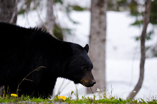
About midway along the Cassiar is a side road to the community of Stewart/Hyder, straddling the British Colombia/Alaska border. I highly recommend the 80 mile detour to visit. The road to Stewart is probably called the Stewart/Hyder access road, as labeled in my copy of The Milepost. It might also be called the Glacier Highway, or the Highway to Glaciers, or something like that. It's definitely called Highway 37A, but that doesn't have the same appeal. There are many roadside bears here (as in, one every 3 or 4 miles, even more than the Cassiar) and what might be called Bear Glacier:
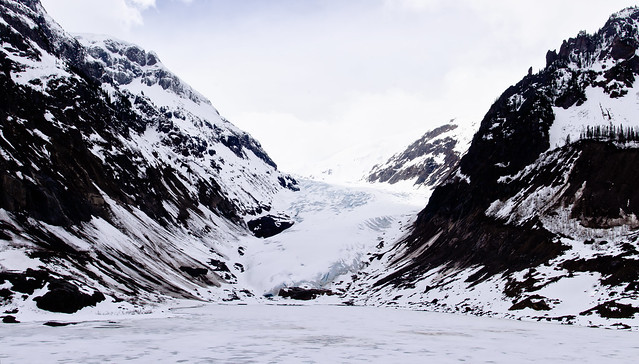
Panorama: Bear Glacier

Bear Glacier Black Bear

Side note: I photographed this same glacier in greener weather last July (Photo 1, Photo 2).

The road descends into and winds through a valley, past obvious avalanche areas where the snow slides have been pushed off the road:
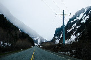
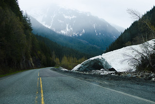
Stewart/Hyder Access Road Stewart/Hyder Access Road

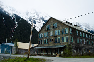
It then comes to the community of Stewart, which is awesome.
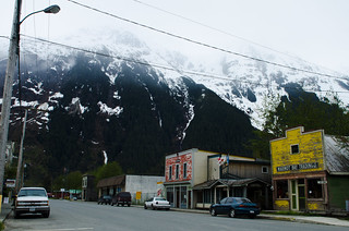
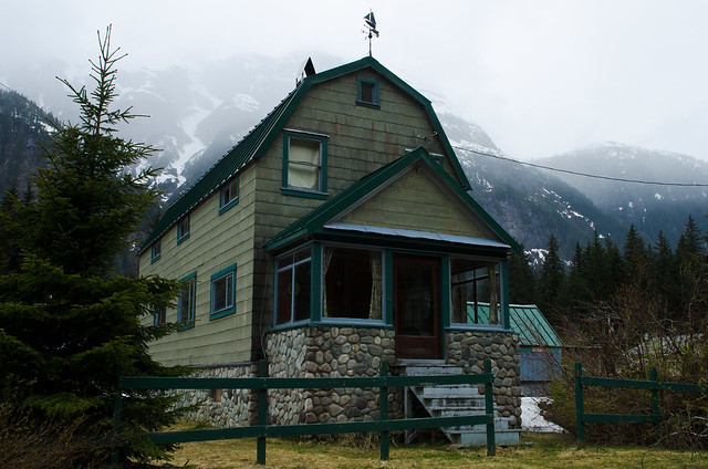
Downtown Stewart This was for sale

That big brown building was for sale. I doubt they have much demand for physicists. Too bad.

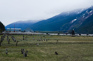
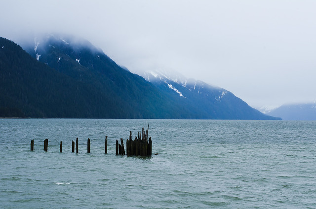
Past Stewart is another ~mile stretch of pavement alongside the water:
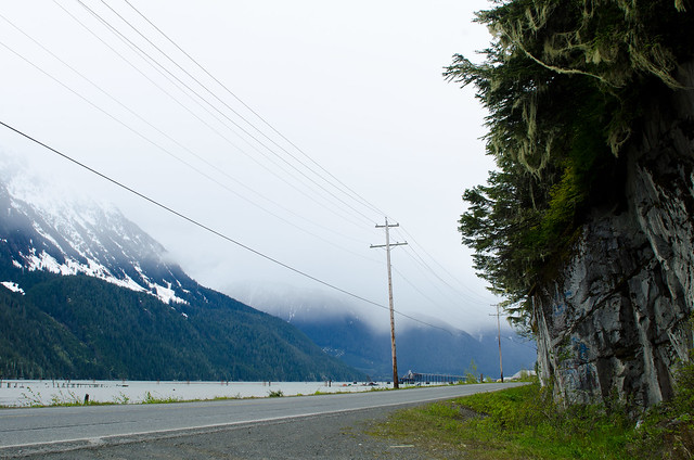
Between Stewart and Hyder

Hyder harbor

Then you hit the US/Canada border. There's no customs stop going into the US here because there's nowhere to go; the road doesn't connect with anywhere else in the US. Immediately across the border the road turns to dirt and you're in downtown Hyder AK:
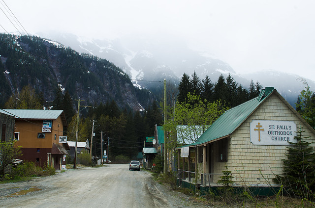
Hyder main street

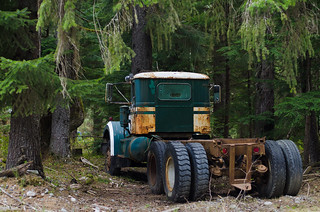
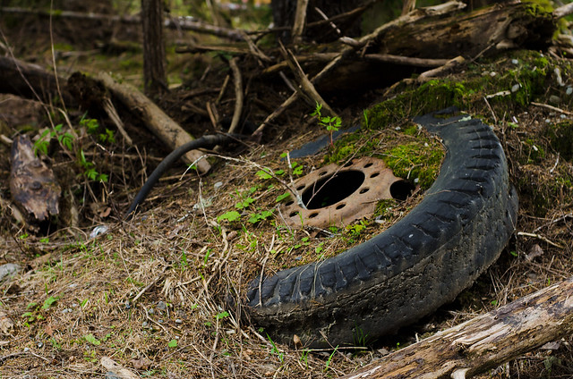
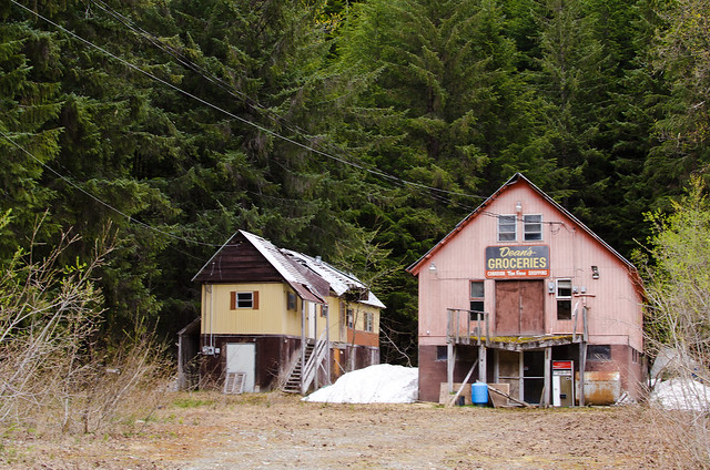
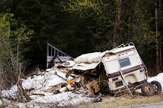
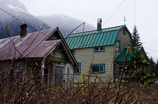
Hyder is haphazard, ramshackle, and littered with long-abandoned mining equipment and random carnage. It would not look out of place in Fallout. Which is to say: I like Hyder a lot.
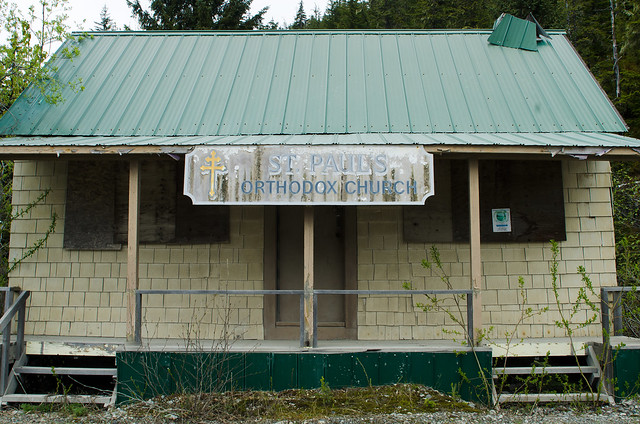
Hyder church

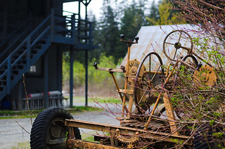
Wheeled thingy Truck

Tire

Trading post:

Trading post

RV carnage Hyder house

Hyder house

Active quest: Speak to Cap't Jim about Harbor Porpoises:
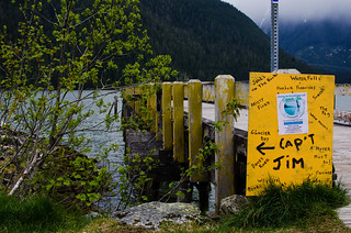
Capt Jim's Hyder harbor

Hyder harbor

Keep going through Hyder and there is a small dirt road, possibly called Salmon River Road or Salmon Glacier Road. I think it goes to a glacier called Salmon Glacier, much larger than the Bear Glacier seen back on the highway, but the road passes through steep mountain terrain and basically gets destroyed every winter and rebuilt in spring. I drove as far as I could, but didn't get to the glacier as the road wasn't rebuilt that far yet:
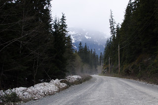
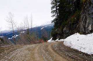
Salmon river road Salmon river road

There was a spot where the edge of the road fell away:
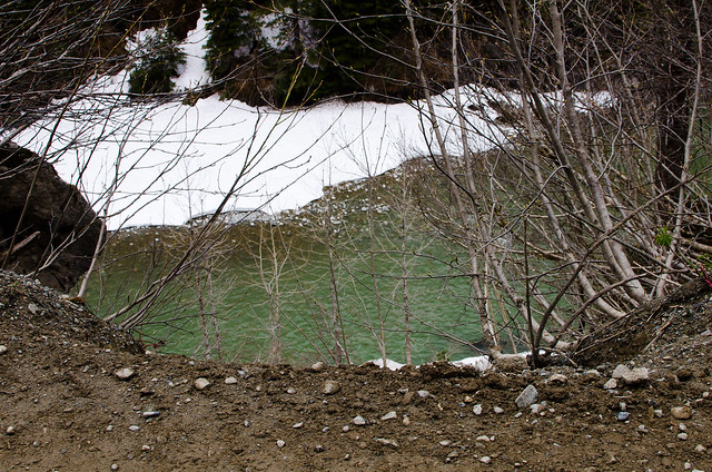
Salmon river road

Okay then, stay off that side of the road. Good to know.
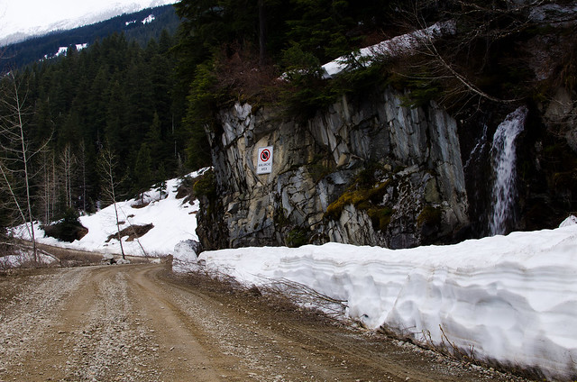
Salmon river road

The road situation escalates quickly. What more can we add to this? How about land mines!
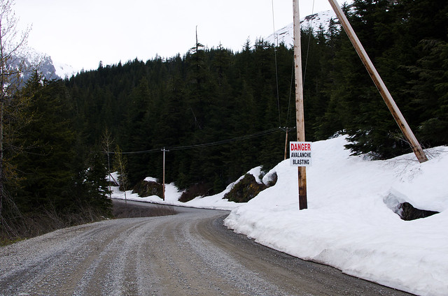
Salmon river road

Close enough.

About a mile past there I had to turn back when I reached where the road crews were rebuilding part of the road that slid down the mountainside over winter.

Back on the Cassiar and heading south I saw a sign that said "Nisga'a Lava Beds ->". Okay, I'll turn there:
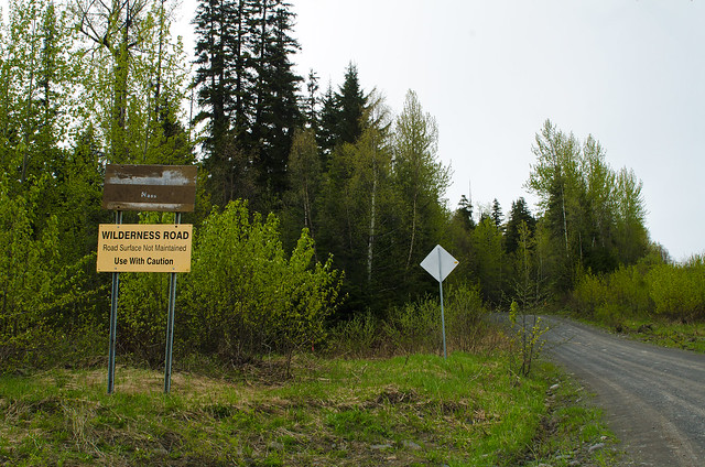
Warning

It was a pretty, if muddy and bumpy, wilderness road:
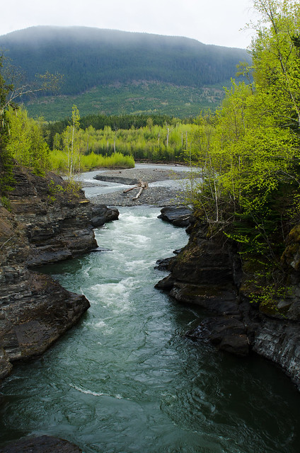
Want to paddle

I found a pair of nervous but curious young brown bears:
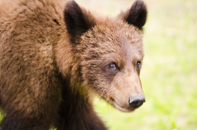
Young brown bear

40km in on this road, which didn't show up on any of my maps, and I pop out onto pavement, which also wasn't on any map. I drove another 10km on the pavement before getting weirded out and going back, while I could still find my way back to my own universe. No lava beds. Some day I'll try again.

Back to the Cassiar and southward bound. The junction with the Yellowhead Highway is just ahead.
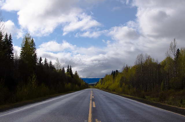
Heading South

Tuesday, May 29, 2012

Alaska Highway - North End

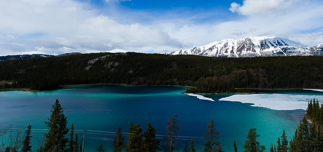
Emerald Lake

I'm currently in Arkansas, having driven from Alaska to the lower 48 through Canada for the 4th time. Given that not a small number of people consider this drive the road trip of a lifetime, it's becoming oddly familiar to me. This time I took a western route, following the Cassiar Highway then staying west from Prince George toward Vancouver, passing over scenic detours when possible. This post covers the northern end, until turning south at the junction with the Cassiar. Rather than leaving Fairbanks in the morning, I stuck around for a committee meeting then took a nap before heading out around 9:00pm to drive all night, where night isn't actually dark enough to see stars this time of year. I spotted a Great Gray Owl shortly after sunset:


Yeah, it's a terrible picture. But I shot that half an hour after sunset, at 560mm focal length, f/8, handheld. Actually rather impressive.

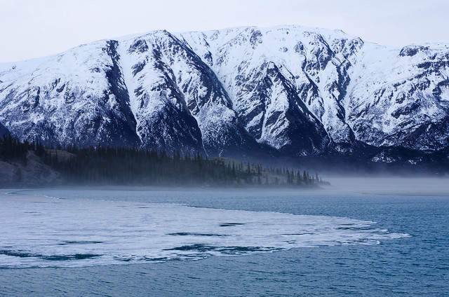
Great Gray Owls are very big (about a 5 ft wingspan), and the distinctive gray disc around the face funnels sounds to their ears so they can hear rodents under the snow. They then swoop in and dive, talons first, up to 4 feet down in the snow to pull their dinner out. They've even been known to chase black bears away from their nest! Driving overnight was an experience: The biggest (only!) highway around for hundreds of miles and I could still go for 1.5-2 hour periods without seeing a single other car. By morning I was at Kluane Lake in Yukon Territory for a photography break with the morning light (I planned that!):

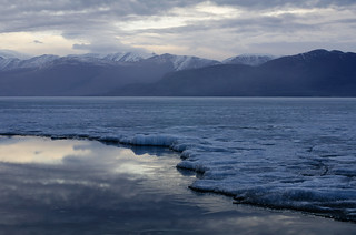
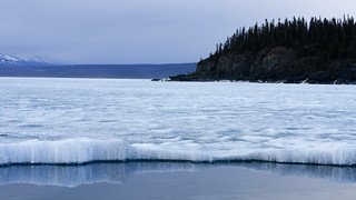
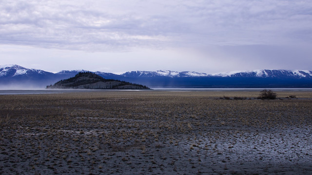
  Kluane mist and iceKluane ice Kluane ice and island Kluane mud flats

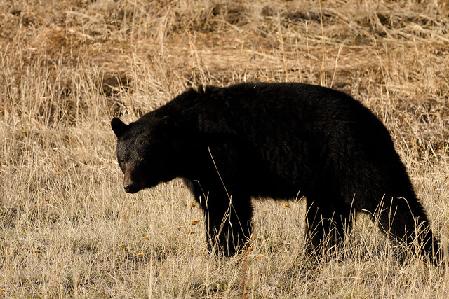
It was still too early for the gas stations to be open (no 24 hour gas for about a 350 mile stretch through here) so I topped off using the gas can on my roof rack - see what I mean about getting familiar with this drive? - and continued on. The gas had been splashing out over the frost heaves in the road through this part of the Yukon, and there was some gross slimy gas-ice on the can. I have never seen gas ice before. Coming out of Haines Junction is usually good wildlife spotting:

  Roadside Bear

Near Whitehorse I took a detour that passed through the town of Carcross, and passed a beautiful lake, appropriately named Emerald Lake:

  Emerald LakePanorama: Emerald Lake

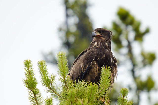
This was about a 60 mile detour, then back on the Alaska Highway. Near Teslin I found a group of Ravens and two Golden Eagles picking at the carcass of a Caribou:

  Golden Eagle

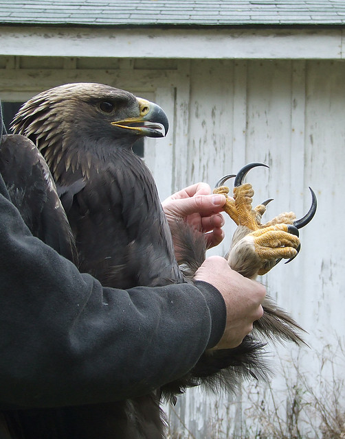
Golden Eagles can be pretty scary. This grizzly bear agrees. As would these goats, had they survived the encounter. And I must plug this picture of a Golden, because it looks like a freaking dinosaur:

  eagle talons
(Click for source)

Just before Watson Lake is the junction with the Cassiar Highway, a much less traveled road than the Alaska Highway. Next time...

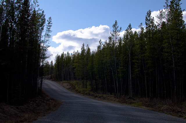
  Cassiar Highway

Sunday, April 22, 2012

Springtime in Denali

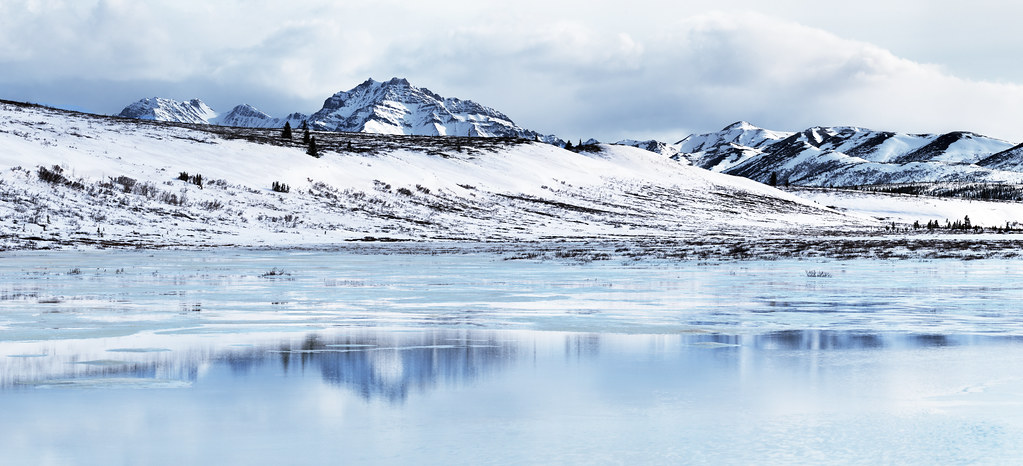
Reflection panorama

It doesn't get very dark anymore, and soon it won't at all, so aurora season is pretty much over (though noctilucent cloud season is coming, and I've never seen one of those!). Combined with end-of-semester projects and I haven't had much to write here. The semester will be over in three weeks, though, so I expect the posting frequency to increase substantially at that point. And spring is here, so it's been perfect weather for outdoor activities (highs of 50-60ºF).

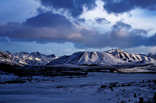
It's Earth Day, so for now, how about some photos from my trip to Denali National Park last Sunday? The park road is currently open to private vehicles as far as mile 30 (that'll change to mile 15 when tourist season starts), and you can go further under human power. I made it to mile 36, two miles from the top of Sable Pass, via bicycle. I saw 4 other people the whole time in the park; 2 of them were in cars on the park road, and the other two were walking a dog within a mile of the road closure. Past there it was pure solitude.

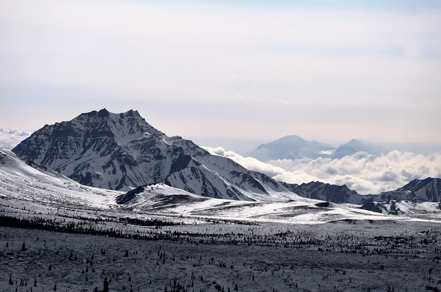
The mountain in the background, poking up through the clouds, is Denali. It's tall.

Denali on a fine spring afternoon.

The mountain in the clouds Aufeis reflection

Evening on the Savage River Evening clouds

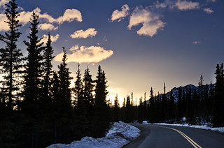
The way through Denali

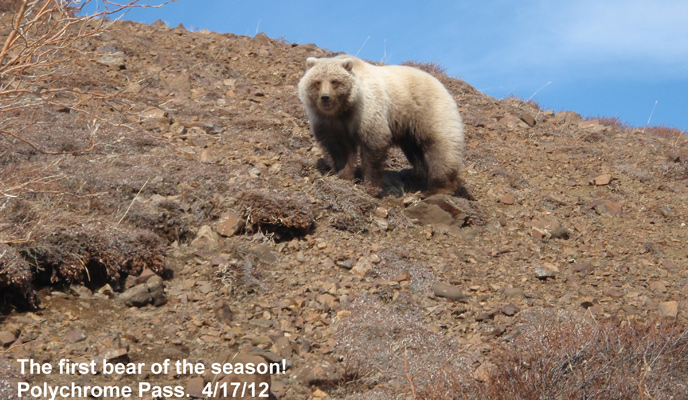
The first bear of the season was sighted on Tuesday at Polychrome Pass. The crew working on plowing the road snapped this picture.


Source: NPS

I think I can make it to Polychrome from Teklanika in a few hours ride without totally wearing myself out, so I might try for it next weekend.