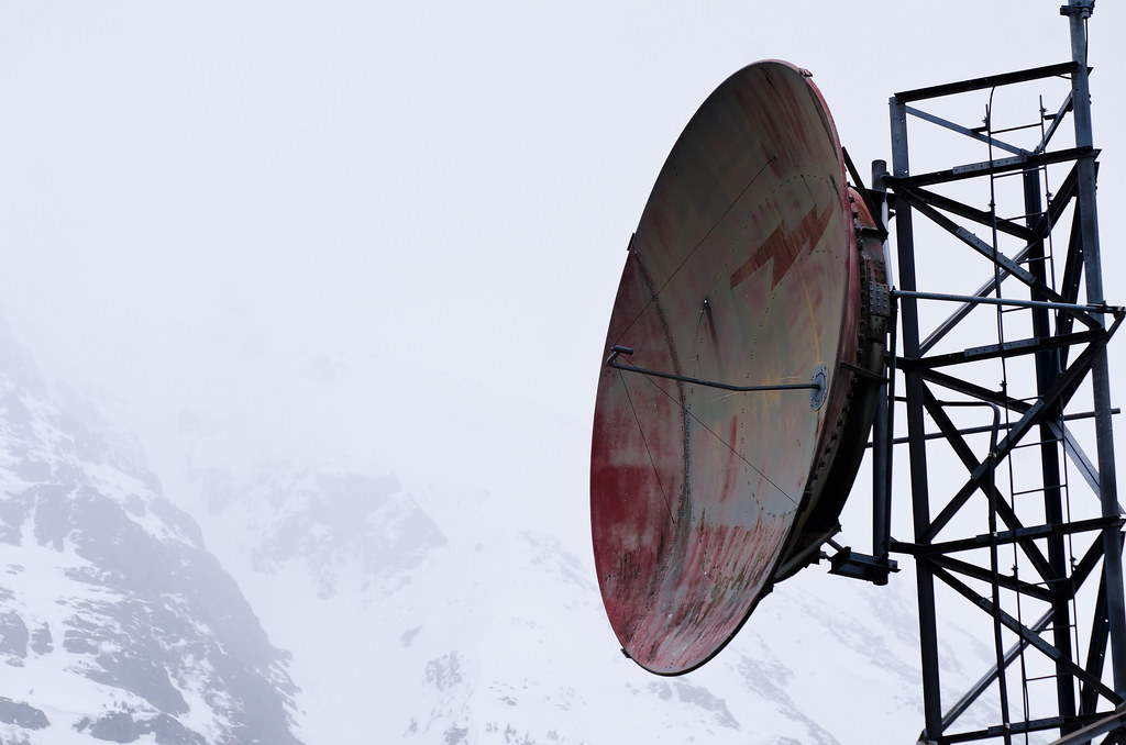
Just before Watson Lake, Yukon Territory, is the Alaska Highway's junction with the Cassiar Highway. There is apparently cell phone service in Watson Lake if you have the right carrier (this is the only place I've ever seen road service signs advertising cell phone reception). I know my phone doesn't work here; I don't have reception anywhere along the 1,000 miles between Whitehorse YT and Prince George BC. I don't know if that gives an idea how isolated the Cassiar is. In the lower 48 you just assume cell phones work via magic, and it's unusual to find those few miles of road with no reception. In Alaska you can go 100 miles or more without reception and that seems normal - but 1,000? That's a long way, man.
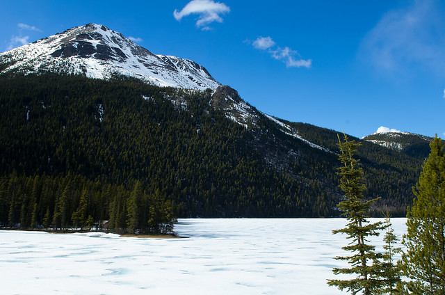
The northern Cassiar passes through one or more mountain ranges, which might be called the Cassiar and Skeena mountains. You see lots of small lakes, which are still mostly icy in May:
Picture, basically, ~250 miles of that, then another ~300 miles of rolling hills, and you'll have a good idea. There is lots of wildlife, not many people, and I can only think of 3 communities to buy gas. Two of them have populations in the couple hundred, and for the third, the gas station is the community. None of the pumps are new enough to take credit cards, so no 24-hour gas anywhere along the Cassiar.
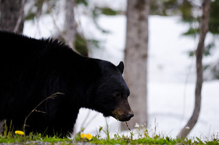
About midway along the Cassiar is a side road to the community of Stewart/Hyder, straddling the British Colombia/Alaska border. I highly recommend the 80 mile detour to visit. The road to Stewart is probably called the Stewart/Hyder access road, as labeled in my copy of The Milepost. It might also be called the Glacier Highway, or the Highway to Glaciers, or something like that. It's definitely called Highway 37A, but that doesn't have the same appeal. There are many roadside bears here (as in, one every 3 or 4 miles, even more than the Cassiar) and what might be called Bear Glacier:
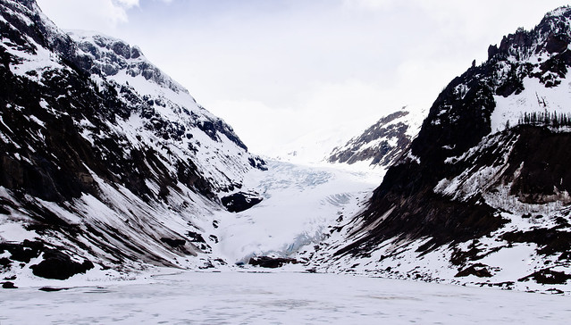
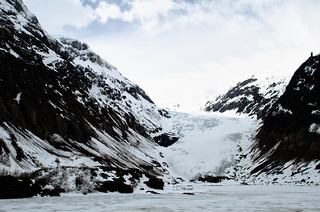
Side note: I photographed this same glacier in greener weather last July (Photo 1, Photo 2).
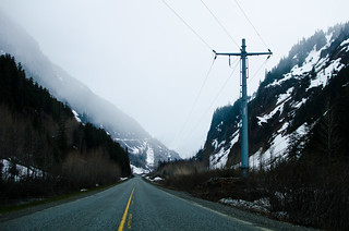
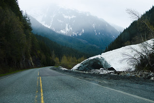
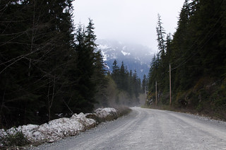
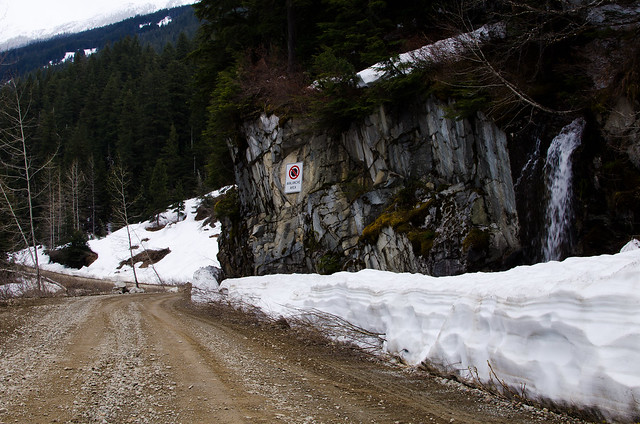
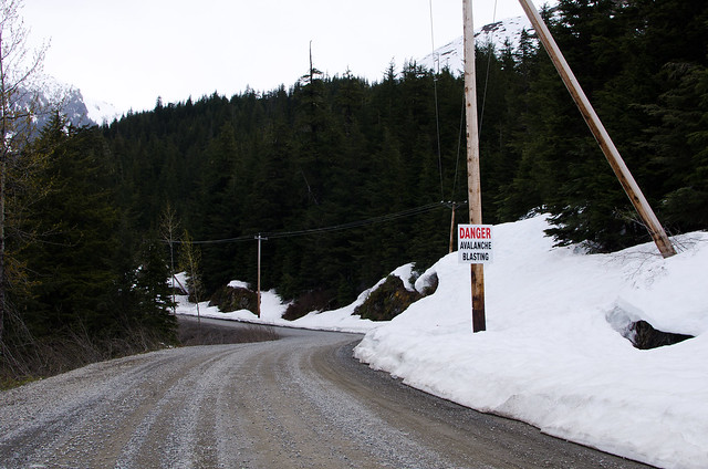
The road descends into and winds through a valley, past obvious avalanche areas where the snow slides have been pushed off the road:
The road descends into and winds through a valley, past obvious avalanche areas where the snow slides have been pushed off the road:
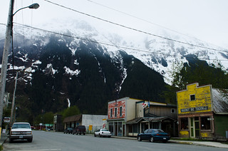
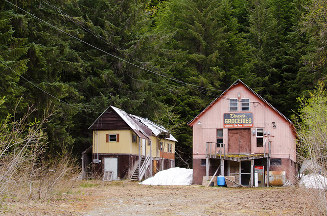
It then comes to the community of Stewart, which is awesome.
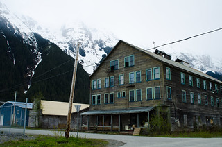
That big brown building was for sale. I doubt they have much demand for physicists. Too bad.
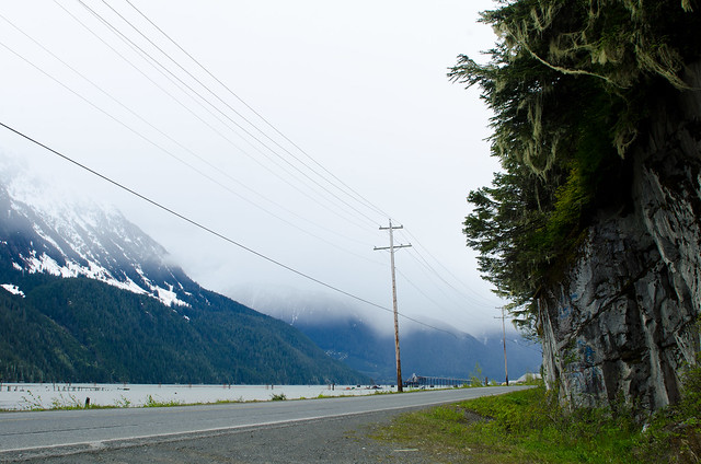
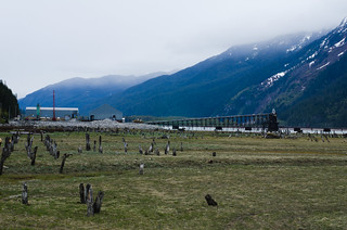
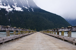
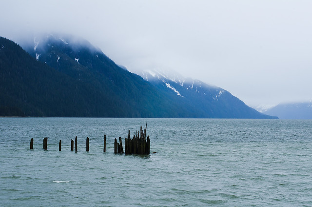
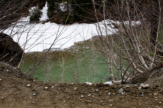
Past Stewart is another ~mile stretch of pavement alongside the water:
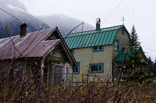
Then you hit the US/Canada border. There's no customs stop going into the US here because there's nowhere to go; the road doesn't connect with anywhere else in the US. Immediately across the border the road turns to dirt and you're in downtown Hyder AK:
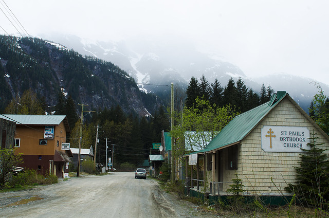
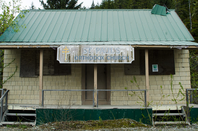
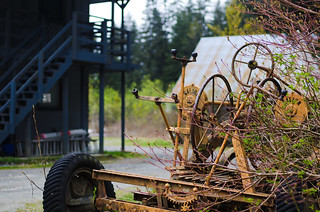
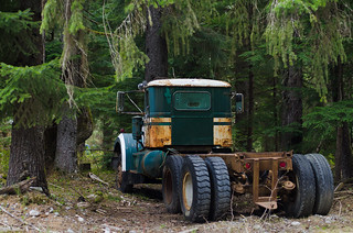
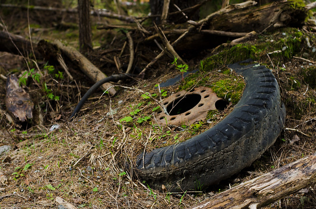
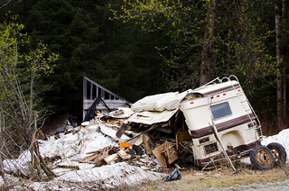
Hyder is haphazard, ramshackle, and littered with long-abandoned mining equipment and random carnage. It would not look out of place in Fallout. Which is to say: I like Hyder a lot.
Trading post:
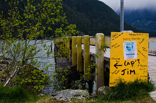
Active quest: Speak to Cap't Jim about Harbor Porpoises:
Keep going through Hyder and there is a small dirt road, possibly called Salmon River Road or Salmon Glacier Road. I think it goes to a glacier called Salmon Glacier, much larger than the Bear Glacier seen back on the highway, but the road passes through steep mountain terrain and basically gets destroyed every winter and rebuilt in spring. I drove as far as I could, but didn't get to the glacier as the road wasn't rebuilt that far yet:
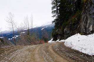
There was a spot where the edge of the road fell away:
Okay then, stay off that side of the road. Good to know.
The road situation escalates quickly. What more can we add to this? How about land mines!
Close enough.
About a mile past there I had to turn back when I reached where the road crews were rebuilding part of the road that slid down the mountainside over winter.
Back on the Cassiar and heading south I saw a sign that said "Nisga'a Lava Beds ->". Okay, I'll turn there:
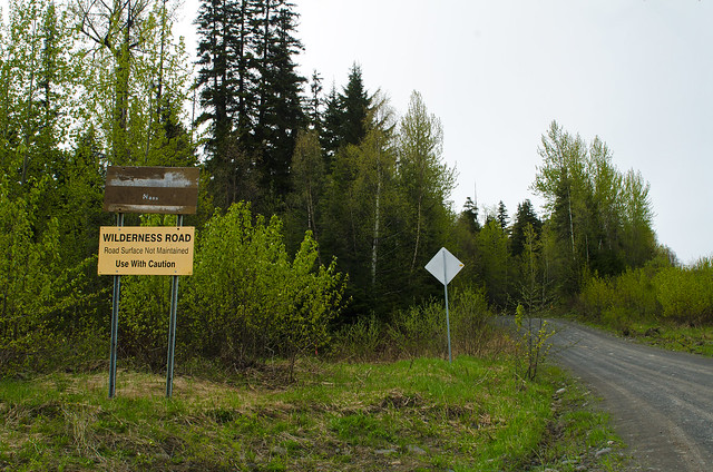
It was a pretty, if muddy and bumpy, wilderness road:

I found a pair of nervous but curious young brown bears:

40km in on this road, which didn't show up on any of my maps, and I pop out onto pavement, which also wasn't on any map. I drove another 10km on the pavement before getting weirded out and going back, while I could still find my way back to my own universe. No lava beds. Some day I'll try again.
Back to the Cassiar and southward bound. The junction with the Yellowhead Highway is just ahead.

No comments:
Post a Comment