Monday, July 29, 2013

Rocky Mountain National Park

For the sprites campaign, we're only allowed to work a maximum of 6 days in a row, then we have to shut down operations for crew rest. Yesterday was our first such hard down day, so I took the opportunity to visit Rocky Mountain National Park and do a little hiking. I looked briefly at the website and decided I wanted to try and climb (or at least wander around nearby) Mount Chapin, a ~12.5 thousand foot summit in the southern Mummy Range. So I drove to RMNP and up the Old Fall River Road, which was pretty cool itself, and set out at the trailhead.

Trail

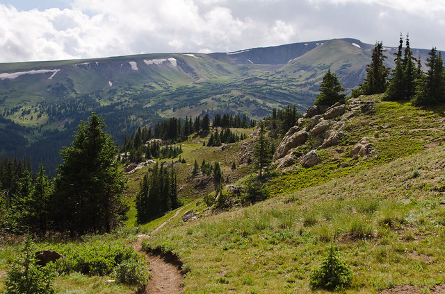
The website warned that the trail was poorly maintained and difficult to follow, but I actually found it pretty obvious and easy. I guess I'm just used to interior Alaska, where half the time there's no trail at all and you're just wandering about. From the parking area you climb up to a pass, then instead of descending the other side, you turn and start heading upwards. You come out of the trees pretty soon and it's all alpine meadows and scree slopes from there.
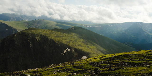
Hills and stuff

The parking area is around 11,000 feet. Both the Arkansas River Valley and the Tanana Valley are near sea level, so that's what I'm used to. Consequently, the altitude was kicking my butt on the uphills, so I took it nice and slow. Plus, I'm in no real hurry and have no particular destination, so why not take it easy? And the weather was great: ~70% could cover kept the direct sunlight off most of the time, and a stiff wind made it quite cool - enough to put a bite in the tips of my ears once or twice. Marvelous. It was amusing to be walking around in a thin t-shirt while everyone else had fleece jackets zipped up against the wind.

I have a tendency to not look at maps very closely before I go hiking. This is a double edged sword. On one hand, it reinforces the 'no particular destination' idea, and I spend more time wandering and enjoying where I'm at rather than focusing on where I'm going. On the other hand, it often ends up with me not really knowing exactly where I'm at. So it turns out I walked right past Mount Chapin and up the wrong mountain before I realized it. You wouldn't think accidentally walking past a mountain is something that's likely to happen, but there you go. I even surprise myself sometimes.

So, approaching the 12,500 13,000 foot summit of Mount Chapin Chiquita, I could see some low, grey overcast clouds on top. But I had been watching them for the last hour or so of approach, and the situation seemed to not be changing much; it looked like an orographic effect rather than a gathering storm. So I decided it was probably stable and safe to head on up. On top of Mount Chiquita I was just high enough to be in the bottom of the clouds, and it was rather chilly.
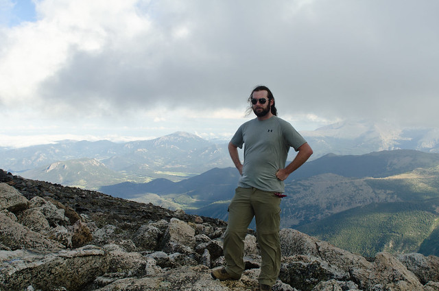
DSC_4885

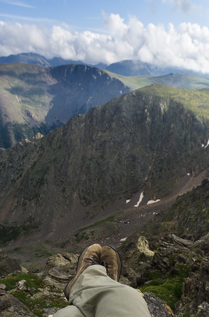
I found a sittin' spot

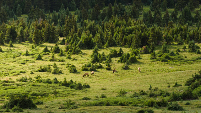
Heading back the way I came, I noticed a trail further down the mountain that looked much less rocky and side-slopey than the one I was on, and thus faster. With a strong suspicion that it went to the same place, I decided to descend the ~500 feet and try it. Right about the time I made the lower trail, I noticed a small herd of elk, perhaps 10 or 15 strong, in the valley below, with a single passing sunbeam about to illuminate them for a brief moment. I threw my bag down and barely dug out my 150mm lens in time to capture this, which ended up not really being that great anyways, but c'est la vie.
DSC_4926

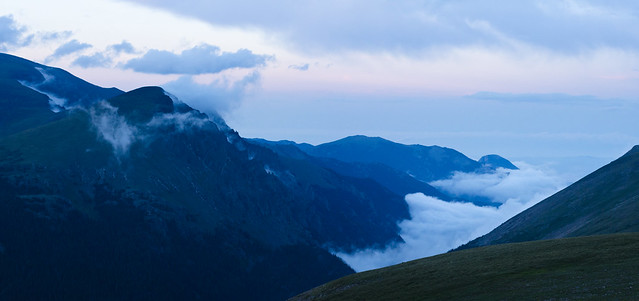
Back at the car, I noticed the main valley was filling with mist, so I stopped to grab the last picture of the night at the lava cliffs overlook.
DSC_4984-86

Monday, July 22, 2013

Begin: Sprites campaign

I've been thinking about starting to update this blog again for a while now, but I never really know where to start. So I'm just going to start. If history is any guide, I'll give up on it again soon, but we'll see.

Today I started another sprites observing campaign. Similar to the campaign I worked two years ago with NHK, we'll be flying above thunderstorms in a Gulfstream, using intensified high speed cameras to capture videos of sprites at 10,000 frames per second. In that campaign we were focusing on 3 dimensional reconstruction via filming a sprite from two different locations; this time we're after high resolution spectra of the sprites. I may go into more detail in a future post, but the take home message is we're only flying one aircraft. Today we did an electromagnetic interference test where we rolled the plane out on the tarmac, fired up all the electronics as if we were taking data, and let the pilots test the avionics for interference. Apparently we passed, so we're ready to fly. We may do a short flight Thursday or Friday, but due to the Moon being almost full, our real opportunities start next week. The Gulfstream belongs to NCAR RAF (National Center for Atmospheric Research's Research Aircraft Facility - the same folks who fly through hurricanes) and we're flying out of their base at Rocky Mountain Metropolitan Airport, just outside Boulder, CO.

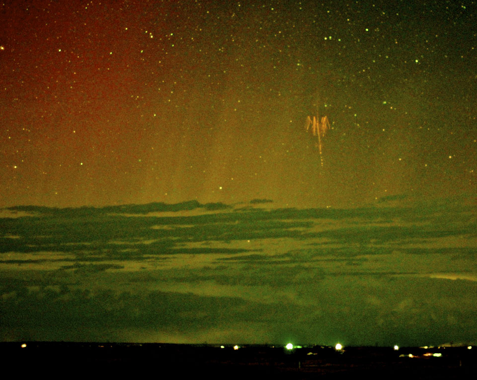
So being that it just started today, I don't have much to write yet. But here are a couple of pictures from recent months, taken by other people, that I thought were really cool. First:

Source

This image, taken in May, is probably the first ever image of a sprite and an aurora together. But then, only a week or so later, came another one:

Source

I don't really have anything to add. I've never captured a sprite with my own camera, but I'm going to give it a shot during this campaign.

Wednesday, October 10, 2012

Catching up: Summer photos

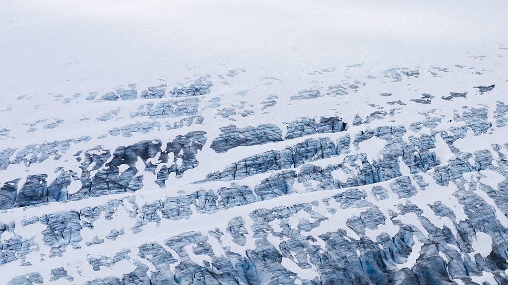
Salmon Glacier

Here's a quick collection of the best pictures I took on the road between Arkansas and Alaska.

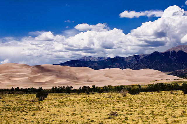
Great Sand Dunes National Park in Colorado:

Great Sand Dunes National Park

Black Canyon National Park, also Colorado:

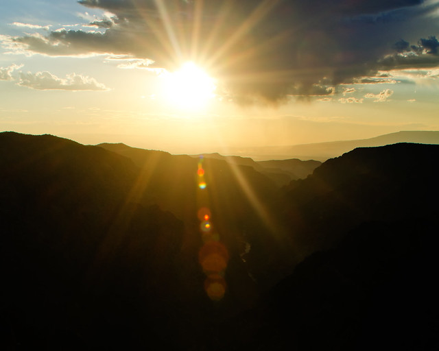
Sunset at Black Canyon

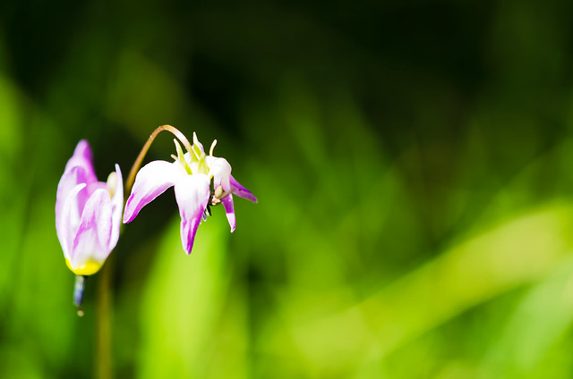
Alpine wildflowers at Great Basin National Park, Nevada:

Wildflowers

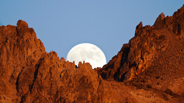
Moonrise, Lassen Volcanic National Park:

The Moon

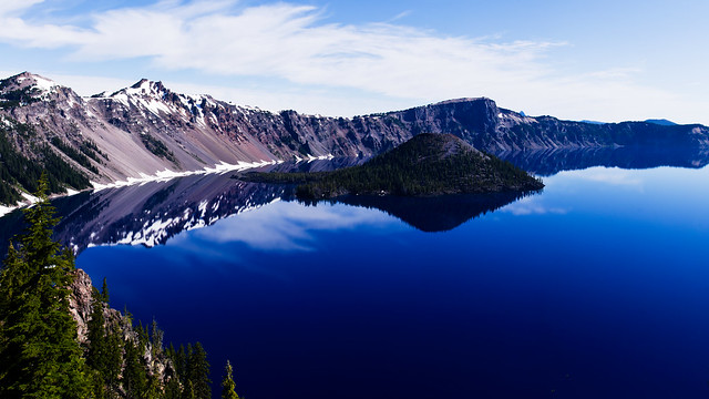
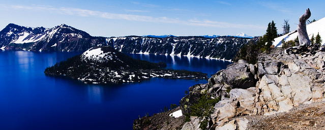
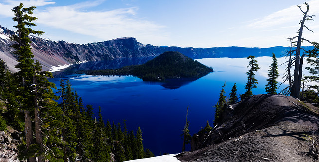
Crater Lake National Park, Oregon:

Panorama: Crater Lake

I've tried to visit this lake multiple times in the past, and have been foiled every time (with one moderately successful visit in May under difficult light, see a few posts back), so I'm glad to finally get it right:

Panorama: Crater Lake

And here's a hugely large panorama I made which got a metric crapload of views when I posted it to Flickr (over 30,000 views the first day!). Apparently people really like being able to zoom in to individual trees several miles away...

Huge Panorama: Crater Lake

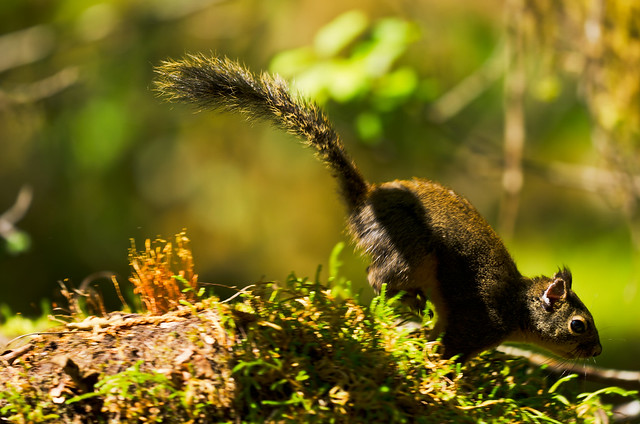
A hopping squirrel in the Hoh region of Olympic National Park, Washington:

Squirrel!

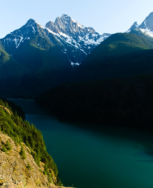
Diablo Lake at North Cascades National Park, Washington:

North Cascades

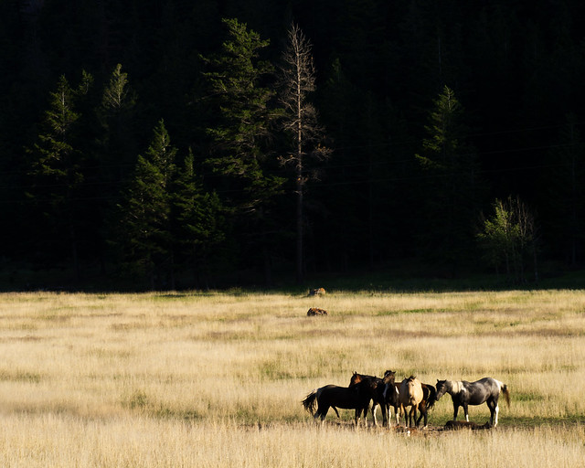
Horses in Marble Canyon, British Colombia:

Canadian horses

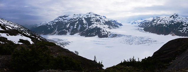
Salmon Glacier, in British Colombia, but you have to loop through Hyder, Alaska to get there:

Panorama: Salmon Glacier

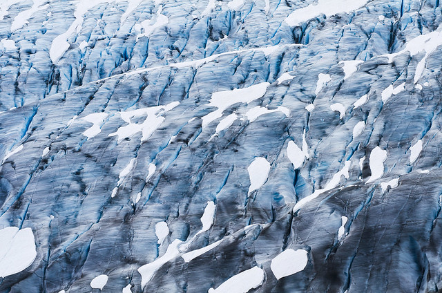
I tried to visit here in May but the road was still too damaged from the winter:

Salmon Glacier

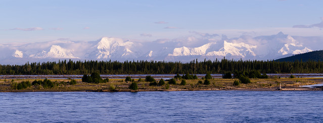
And finally, the Alaska Range over the Tanana River. Home!:

Panorama: Tanana River and Alaska Range

Thursday, September 27, 2012

Haven't been here in a while...

I last updated this blog in June... Well, since then, I've been on the road for around a month, then after returning to Fairbanks I kept myself away from here in an attempt to drive myself to study for my comprehensive exams out of sheer boredom if nothing else. The comps were at the end of August (I passed!), and so I have no excuse for not blogging in September other than the inertia of not blogging for July and August. Maybe now I can break that inertia and get back into a regular schedule. To start with, here are a couple of photography related updates:

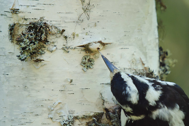
Woodpecker tongue

This image of mine is going to be (may already be?) displayed in the Hall of Birds at Chicago's Field Museum. Very cool, this is a high class museum!

Denali Sunset from the south side

This one is being sold in poster format at a small business just outside the Denali National Park entrance. The place is already closed for the season, but springtime I'm going to have to stop by and get one.

(Side note: I should have done a 16x9 crop on that one...)

And I also got a couple of new cameras to play with:


This is my first ever film camera, a 4x5 view camera (Burke and James Speed Press), purchased with the license fee I got for the above posters. I've already shot about 20 pieces of black and white film, mostly at the Chatanika dredge and Denali, and I've learned to develop them. The negatives look awesome, but my scanner is crap so I can't digitize them just yet. Soon...


Also, a GoPro. My D5000 died this summer so I wanted a new daylight timelapse camera, plus this allows me to put it in 'dangerous' situations where it's likely to get wet, or dropped. I've already filmed a sequence of driving the Dalton Highway up past the Arctic Circle to Coldfoot, and another of driving the entire 92 mile Denali Park Road (a friend won the road lottery this year), I just have to process them and get them online.

Speaking of timelapses that are filmed but I need to put computer time into, I filmed the entire drive from Arkansas to Alaska... It took almost two weeks via backroads, and I have 25 minutes of video (45,000 pictures!). The whole drive, continuous... I'll have to edit it down to something manageable (maybe 5 minute length?), but it's coming.

Also, I've had two cameras in the windows of my cabin taking a picture every day at noon for a year now. One of these day's I'll put that together to watch a year pass by.

I have more to post, highlight pictures from the drive north, and some from around Alaska since I've been back, but I'll save that for another time.