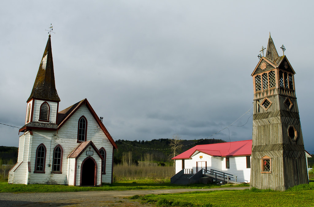
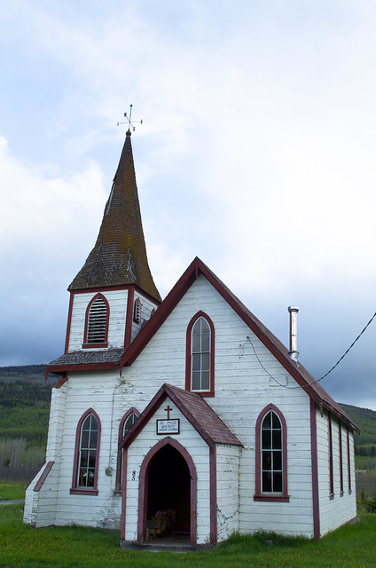
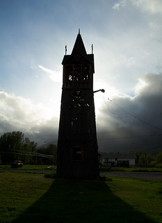
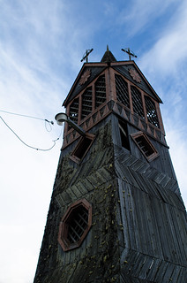
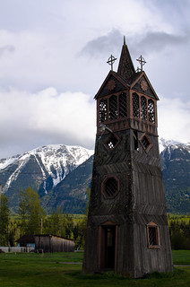
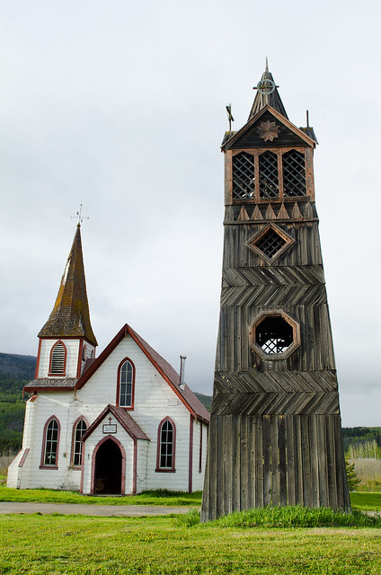
At the junction of the Cassiar and Yellowhead highways is the small community of Kitwanga. I passed through in the evening and stopped for some pictures of their Anglican church and bell tower, which is neatly old:
Then it was east onto the Yellowhead highway. The Trans-Canada Highway is a highway system that runs east-west across the country. The Yellowhead is the northern part of the west half, and I've driven about a third of it, from Jasper to Kitwanga. It's still fairly remote, but it feels pretty populated once you get off the Cassiar. Anyway, evening clouds over the forest were cool:

As night fell, it started to snow - a lot. It was the heaviest snowstorm I've ever driven in. You couldn't see both the yellow center line and the white shoulder line at the same time, so I was going 15-20mph.

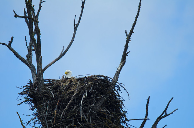
Made it to Prince George BC and turned south on the Cariboo Highway. This was originally a mule trail for gold field access, and towns along the route (like '70 Mile House', '100 Mile House') are named for old stagecoach stops. I like this part of BC, it's open, relaxed, and underpopulated. It feels 'western' in the cowboy sense, but more genuine about it than the classic 'cowboy' places in the US. The highway follows what I think is the Fraser river. I stopped next to it for a pee break and found a Bald Eagle giving me the stare from a nest:
A little later I passed a highway sign that said 'Chasm -> 3km' - okay. This was there:
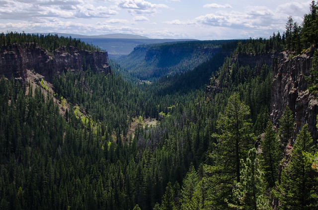
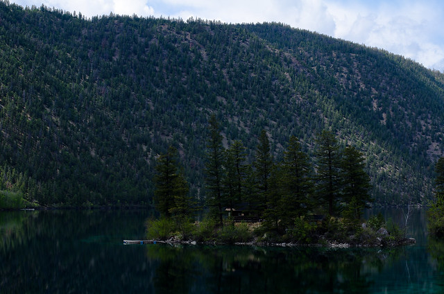
Just before the town of Cache Creek I turned back west onto the 'Sea to Sky Highway', a slower but more scenic route south to Vancouver, and quickly came to Pavilion Lake:

There was a little cabin on that island:
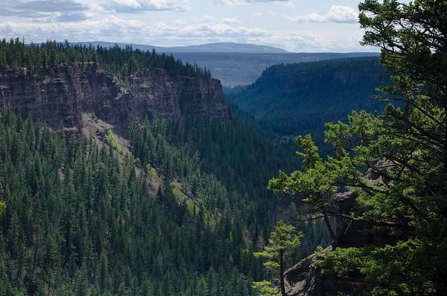
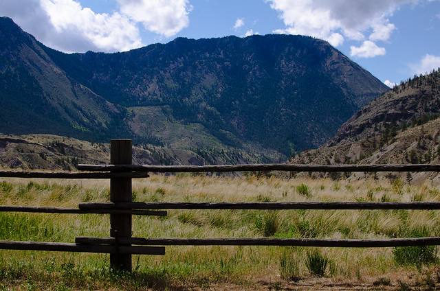
The road passes through Fraser Canyon, a deep valley cut by the river, which has its own arid microclimate. Here's a wood fence leading out to the canyon:
The road then continues over the mountains, and is very twisty and pretty. It's what the 'Going to the Sun' Highway in Glacier National Park could be if it weren't for all the traffic. I'd like to spend more time at some of the parks through here. I didn't stop for any pictures. Arrived in Vancouver and crossed into the US an hour or so before sunset and set up camp. Continuing south next time.
No comments:
Post a Comment