After my time in the Columbia River Gorge, I hopped a plane to the other side of the country to spend a week on the Outer Banks of North Carolina. This one was for business: I was supporting a rocket launch to test a new mechanism we'll use this fall in Svalbard. The rocket's purpose is to release a trail of luminous clouds in the high atmosphere, the clouds drift with the winds way up there, and we watch to learn about those high altitude winds. My job was to run some of the cameras that track the clouds. The rocket launches from NASA Wallops Flight Facility on Virginia's eastern shore, and a slew of cameras is deployed both there and down at the town of Duck on the NC Outer Banks. We need cameras at two locations to be able to pinpoint the clouds in 3 dimensions. I was in charge of the 'remote' site at Duck, which was on a concrete patio behind the building at a US Army Corps of Engineers site. I got my gear set up first thing:
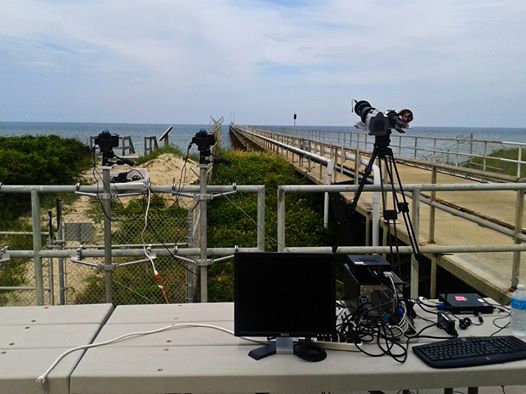
The larger tripod at the right is a
very nice cinema tripod holding three scientific cameras; left to right, an Andor iXon EMCCD, a CCD video camera with an image intensifier, and an ATIK astronomical CCD. The computers on the table are necessary to run the EMCCD and ATIK, while the gear to run the ICCD is just inside the building on long cables. To the left are two Nikon D700s that a guy from Wallops was running, and I had a Nikon D610 running as well. We fielded so many cameras to get an idea of which worked best so we would know what to take to Svalbard.
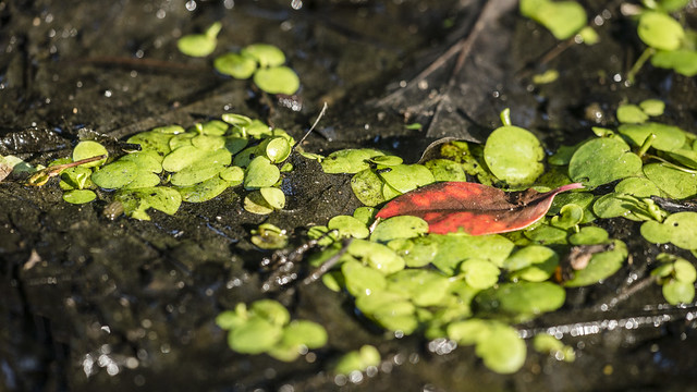
After getting the setup worked out, my job was to be on station by 2:00am each morning and wait until our potential launch time around 4:30am. I usually arrived around 1:00am to be sure I was setup and ready to go well before necessary, and left around 5:30am. I slept until about 2:00pm then had the afternoon and evening to explore. The western side of the island is swampy:
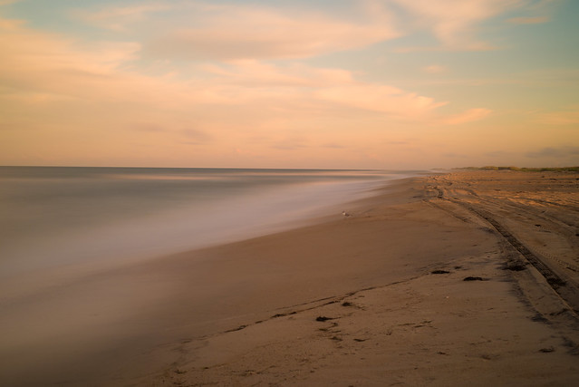
While the eastern side is beach:
Like everyone who's spent a lot of time in Alaska, I shrink like a vampire when exposed to bright direct sunlight. But after walking outside it only takes a few minutes to get used to it, and otherwise the weather was great (
that would change the day after I left), varying from the 70s to the high 80s with a constant stiff breeze coming off the ocean. My favorite thing about the beach is the soundscape: The wind and waves give a good constant white noise, and the seabirds punctuate it well. I should get one of those 'sounds of the beach' tapes or something. I do feel like the beach is sort of a boring place to visit overall, at least the southeast and gulf coast beaches, where it's just a flat slope of sand into water. It seems like most of the interesting things you could do at the beach require too much gear and/or practice to be feasible for a visitor. If I lived here, I could definitely see myself taking advantage of the wind to take up kite boarding, and my whitewater kayak would probably be a lot of fun in the surf.
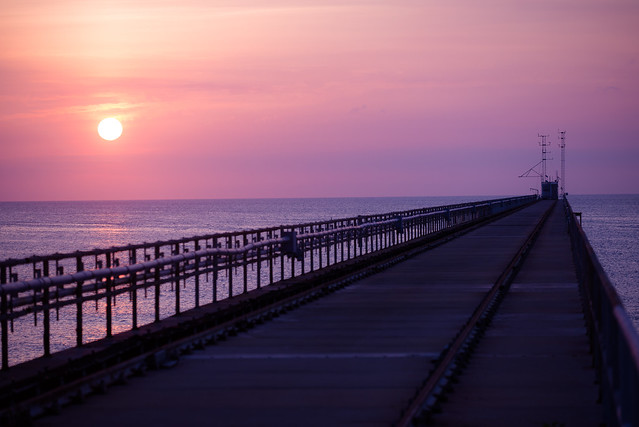
The first two nights we couldn't launch the rocket due to clouds and winds. The site I was working at has a private pier that sticks half a kilometer out into the water, which I spent a lot of time walking along. It's pretty dark out there, with no sounds but the wind and waves, which is kind of creepy (in a neat way) when you can't see anything and you're just walking through blackness listening to the sea. After your eyes have time to adjust to the dark, it's pretty nice:
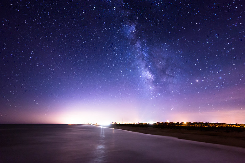
Also, since the pier is private, people don't walk out there often, so seabirds have taken to roosting on the end. When I walked out there in the dark I scared them up, but since it was dark they couldn't see to fly anywhere so they just hovered on the wind all around me, not making any noise other than the flapping of their wings (which is rather loud on larger birds!). It was dark enough that I couldn't even tell if they were large gulls or pelicans, even though they were floating only a few feet away.
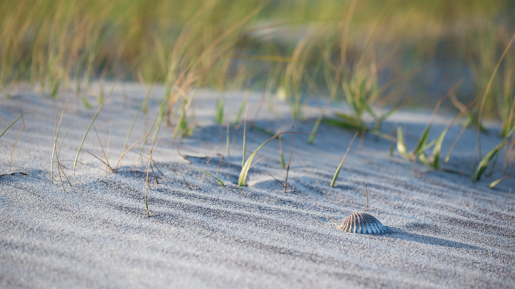
During the days I spent a lot of time in the Hatteras Island National Seashore just to the south, walking along the wild beaches and taking pictures in the afternoon light. Here's a couple from a 'focus on the blowing sand' afternoon:
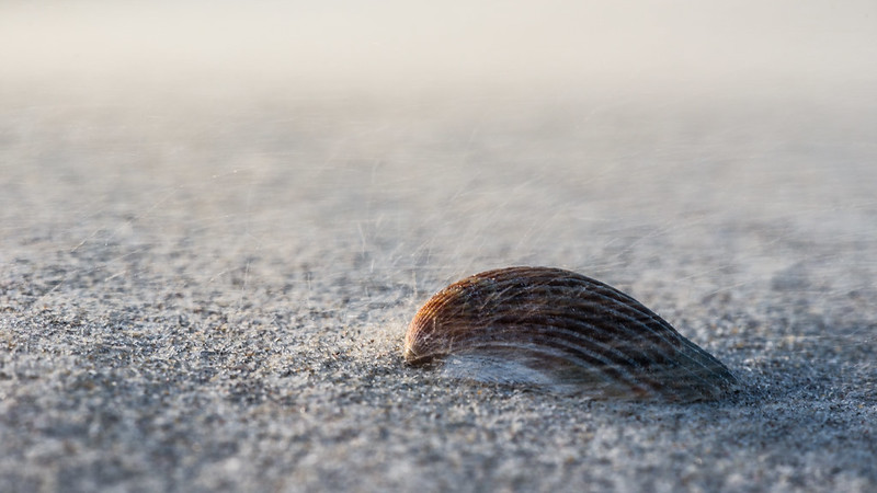
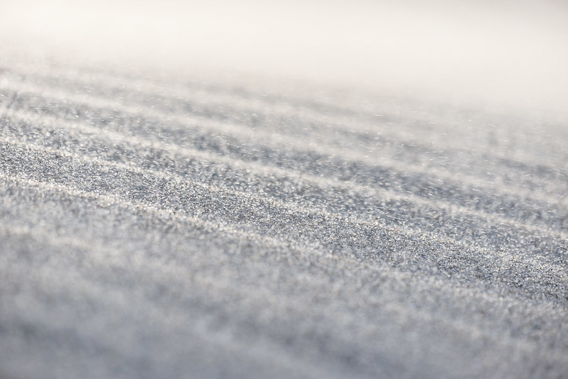
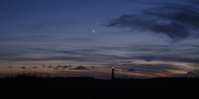
And the Bodie Island lighthouse not long after sunset (it gets dark fast this far south!):
The next two nights we had the weather conditions but couldn't launch because of commercial fishing boats in the impact area, which was annoying. One of those mornings after we shut down for the night I decided to walk out to the end of the pier and wait for sunrise:
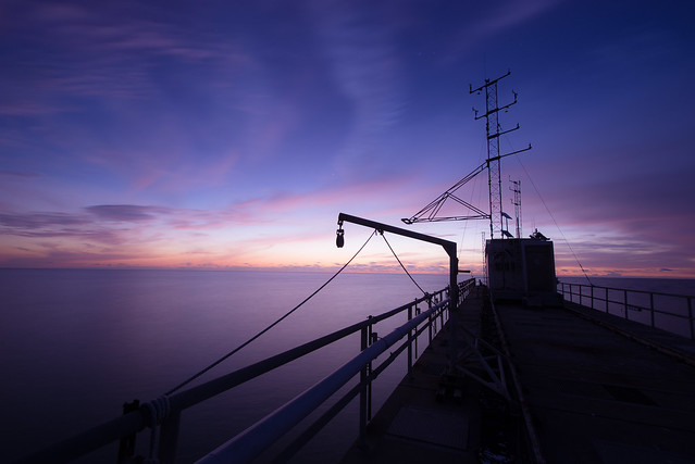
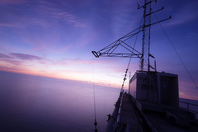
While waiting, I started hearing a weird air venting noise. It sounded like a pipe that reached down to water level, and would blow air out the top when a wave passed in the bottom. So I started looking around and found that it was actually a pod of dolphins right under me, and the sound was their breathing.
The beaches, especially the less-traveled wild beaches, have a lot of ghost crabs scampering around. Ghost crabs are well camouflaged, fast, and skittish, so getting decent pictures isn't easy. Challenge accepted? I took a seat next to a few active crab holes and waited. As they got more used to me, they'd come out of their holes and stay put as long as I didn't move. I worked my way closer and closer like this, and eventually made it close enough to set my camera right outside their holes and lay in the sand behind it, tripping the shutter with a cable release. I started with my 150mm macro lens:

But decided this could be better if I used a wider 50mm lens to get more of the environment in the shot:
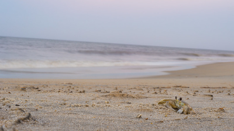
And I ended up pretty happy with this one taken just after sunset, with the crashing waves and pink sky behind:

I would have liked to try using a flash but I didn't bring one, and it probably would have scared the crabs too much anyway.
On early July 3, our last chance of the launch window, we finally got our opportunity to launch. Unfortunately, the rocket failed at the second stage and tumbled back to the ground like a giant flare. I think it only made it up to 27,000 feet. So we didn't even get to test the mechanism we wanted to test. Here's the video from Wallops of launch, which looks like something out of Kerbal Space Program:
Afterwards I packed all the gear up, finishing just after sunrise:
Aaand back to the other side of the country where I began my drive to Arkansas.
